File:GraysHarbor.png

Size of this preview: 619 × 599 pixels. Other resolutions: 248 × 240 pixels | 624 × 604 pixels.
Original file (624 × 604 pixels, file size: 62 KB, MIME type: image/png)
Captions
Captions
Add a one-line explanation of what this file represents
Summary
edit
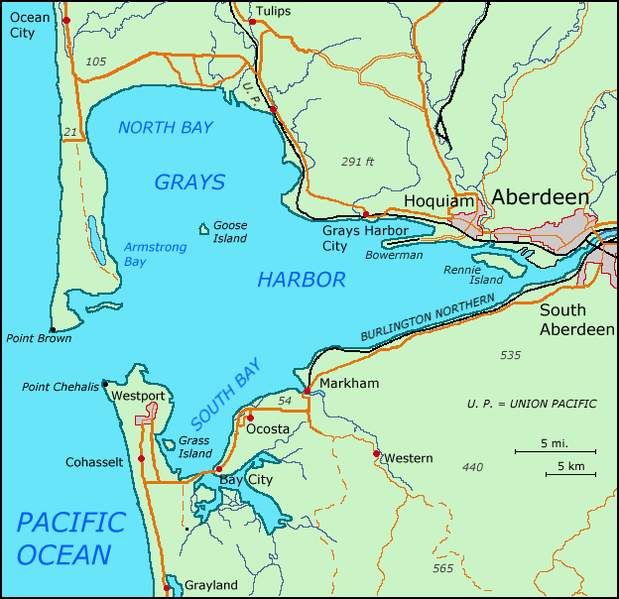
| Description | Map of Grays Harbor, WA / Karte von Grays Harbor, WA |
| Date | |
| Source | self-made, based on Scans of Maps by the USGS (Chehalis River, Westport, Shelton) - 30X60 series |
| Author | Matthiasb |
Licensing
edit
| I, the copyright holder of this work, release this work into the public domain. This applies worldwide. In some countries this may not be legally possible; if so: I grant anyone the right to use this work for any purpose, without any conditions, unless such conditions are required by law. |
File history
Click on a date/time to view the file as it appeared at that time.
| Date/Time | Thumbnail | Dimensions | User | Comment | |
|---|---|---|---|---|---|
| current | 11:24, 16 October 2007 | | 624 × 604 (62 KB) | Matthiasb (talk | contribs) | made little corrections |
| 08:49, 15 October 2007 |  | 624 × 604 (62 KB) | Matthiasb (talk | contribs) | ||
| 15:46, 14 October 2007 |  | 624 × 604 (52 KB) | Matthiasb (talk | contribs) | {{Information |Description=Map of Greys Harbor, WA / Karte von Grays Harbor, WA |Source=self-made, based on Scans of Maps by the USGS (Chehalis River, Westport, Shelton) - 30X60 series |Date=15. Oktober 2007 |Author= Matthiasb }} |
You cannot overwrite this file.
File usage on Commons
The following 2 pages use this file:
File usage on other wikis
The following other wikis use this file:
- Usage on bg.wikipedia.org
- Usage on de.wikipedia.org
- Usage on en.wikipedia.org
- Usage on es.wikipedia.org
- Usage on fi.wikipedia.org
- Usage on fr.wikipedia.org
- Usage on it.wikipedia.org
- Usage on pl.wikipedia.org
- Usage on pt.wikipedia.org
- Usage on www.wikidata.org