File:Grenzstein Herrschaftswald im Rotenacker 1096W.jpg
Size of this preview: 441 × 600 pixels. Other resolutions: 176 × 240 pixels | 353 × 480 pixels | 826 × 1,123 pixels.
Original file (826 × 1,123 pixels, file size: 1.04 MB, MIME type: image/jpeg)
Captions
Captions
Add a one-line explanation of what this file represents
Summary
edit
| Description |
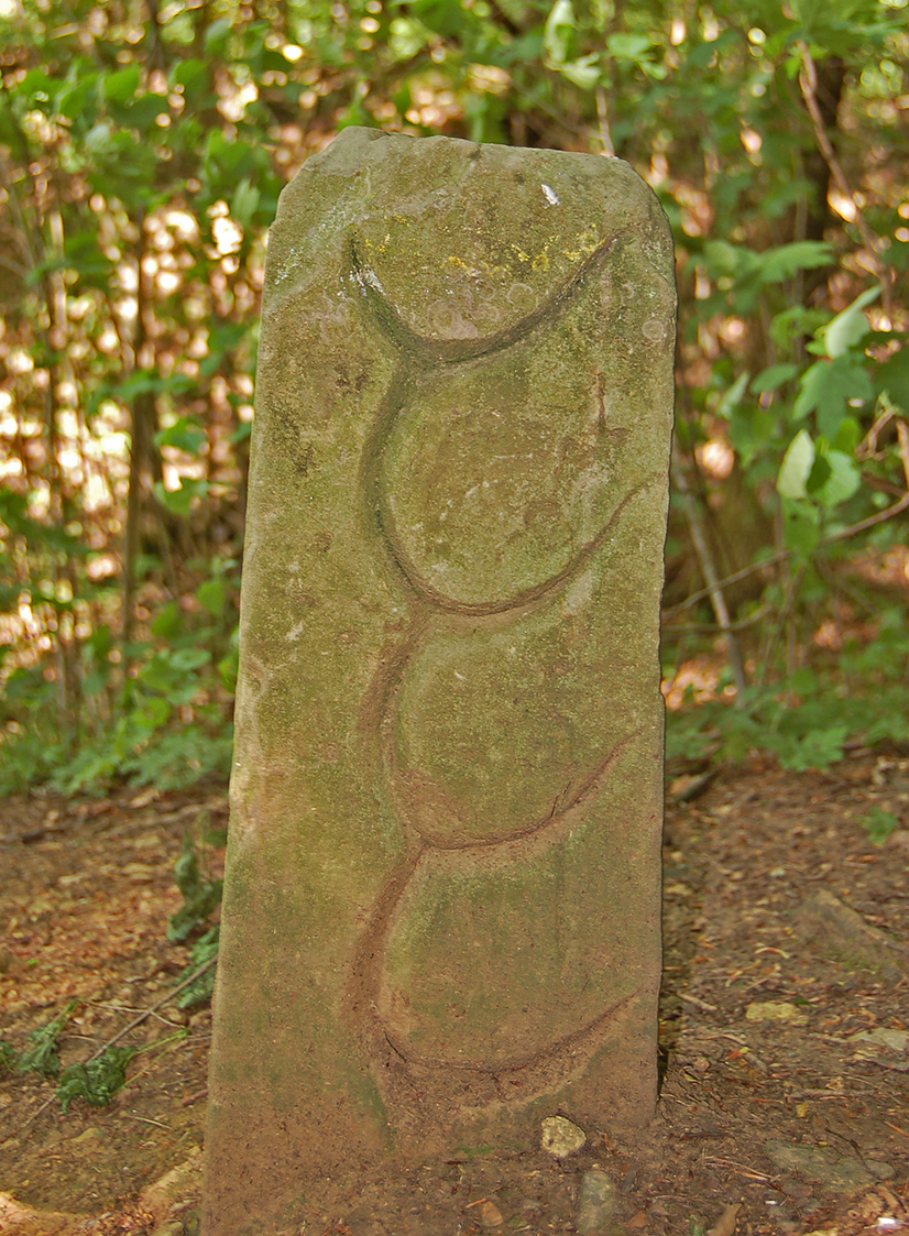
English: Boundary Stone of Württemberg in Rotenacker
Deutsch: Grenzstein des württembergischen Herrschaftswaldes im Rotenacker vor dem Remminger Schlössle (vgl. Kiesersche Forstkarte von 1682) |
| Date | |
| Source | Own work |
| Author | P. Fendrich |
| Object location | | View this and other nearby images on: OpenStreetMap |
|---|
Licensing
edit
I, the copyright holder of this work, hereby publish it under the following license:
This file is licensed under the Creative Commons Attribution 3.0 Unported license.
- You are free:
- to share – to copy, distribute and transmit the work
- to remix – to adapt the work
- Under the following conditions:
- attribution – You must give appropriate credit, provide a link to the license, and indicate if changes were made. You may do so in any reasonable manner, but not in any way that suggests the licensor endorses you or your use.
File history
Click on a date/time to view the file as it appeared at that time.
| Date/Time | Thumbnail | Dimensions | User | Comment | |
|---|---|---|---|---|---|
| current | 22:30, 11 May 2015 | | 826 × 1,123 (1.04 MB) | P. Fendrich (talk | contribs) | {{Information |Description ={{en|1=Boundary Stone of Württemberg in Rotenacker}} {{de|1=Grenzstein des württembergischen Herrschaftswaldes im Rotenacker vor dem Remminger Schlössle (vgl. Kiesersche Forstkarte von 1682)}} |Source ={{own}}... |
You cannot overwrite this file.
File usage on Commons
There are no pages that use this file.