File:Grodenskaia, Volinskaia and obl. Belostokskaia Governorate map (1808).jpg
Size of this preview: 753 × 599 pixels. Other resolutions: 302 × 240 pixels | 603 × 480 pixels | 965 × 768 pixels | 1,146 × 912 pixels.
Original file (1,146 × 912 pixels, file size: 246 KB, MIME type: image/jpeg)
Captions
Captions
Add a one-line explanation of what this file represents
Summary
edit.jpg&action=edit§ion=1)
| Description |
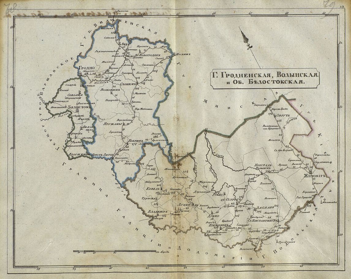
ქართული: გროდენისა და ვოლინსკის გუბერნია და ბელოსტოკის ოლქი
English: Grodenskaia, Volinskaia Governorate and obl. Belostokskaia |
| Date | |
| Source | Карманный почтовый атлас всей Российской империи, разделенной на губернии, с показанием главных почтовых дорог : [сочинен, гравирован и печатан в 1808 году. - [СПб., 1808].] |
| Author | Unknown author |
Licensing
edit.jpg&action=edit§ion=2)
|
This work is in the public domain in its country of origin and other countries and areas where the copyright term is the author's life plus 70 years or fewer. | |
| This file has been identified as being free of known restrictions under copyright law, including all related and neighboring rights. | |
File history
Click on a date/time to view the file as it appeared at that time.
| Date/Time | Thumbnail | Dimensions | User | Comment | |
|---|---|---|---|---|---|
| current | 07:52, 6 February 2018 | | 1,146 × 912 (246 KB) | Surprizi (talk | contribs) | User created page with UploadWizard |
You cannot overwrite this file.
File usage on Commons
There are no pages that use this file.
.jpg&oldid=672662311)