File:Groundwater Monitoring Wells--St. Paul - DPLA - af7747e0189c87f4832441b6c6c48359.JPG
Size of this preview: 800 × 600 pixels. Other resolutions: 320 × 240 pixels | 640 × 480 pixels | 1,024 × 768 pixels | 1,280 × 960 pixels.
Original file (1,280 × 960 pixels, file size: 463 KB, MIME type: image/jpeg)
Captions
Captions
Add a one-line explanation of what this file represents
Summary
edit
| Groundwater Monitoring Wells--St. Paul
( |
||||||||||||||||||||
|---|---|---|---|---|---|---|---|---|---|---|---|---|---|---|---|---|---|---|---|---|
| Creator | Department of Commerce. National Oceanic and Atmospheric Administration. National Ocean Service. Office of Response and Restoration. Pribilof Islands Restoration Project Office. 1996-9/2008 | |||||||||||||||||||
| Title |
Groundwater Monitoring Wells--St. Paul |
|||||||||||||||||||
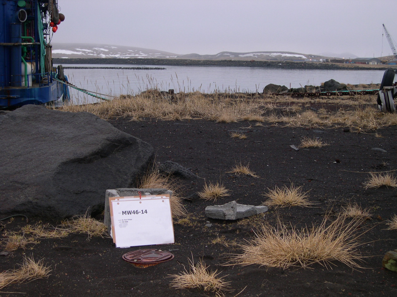
| Description |
Groundwater monitoring well MW46-14. Location: St. Paul Island, Alaska Date: January 10, 2005 Photographer: Nir Barnea Photographer Affiliation: NOAA NARA Accessioned Digital Format: JPG |
|||||||||||||||||||
| Collection |
|
|||||||||||||||||||
| Source/Photographer |
|
|||||||||||||||||||
| Permission (Reusing this file) |
|
|||||||||||||||||||
| Standardized rights statement |
|
|||||||||||||||||||
File history
Click on a date/time to view the file as it appeared at that time.
| Date/Time | Thumbnail | Dimensions | User | Comment | |
|---|---|---|---|---|---|
| current | 12:54, 26 November 2020 | | 1,280 × 960 (463 KB) | DPLA bot (talk | contribs) | Uploading DPLA ID af7747e0189c87f4832441b6c6c48359 |
You cannot overwrite this file.
File usage on Commons
The following page uses this file: