File:Grundlsee - panoramio.jpg

Size of this preview: 800 × 533 pixels. Other resolutions: 320 × 213 pixels | 640 × 427 pixels | 1,024 × 683 pixels | 1,280 × 853 pixels | 2,560 × 1,707 pixels | 4,320 × 2,880 pixels.
Original file (4,320 × 2,880 pixels, file size: 4.91 MB, MIME type: image/jpeg)
Captions
Captions
Add a one-line explanation of what this file represents
Summary
edit
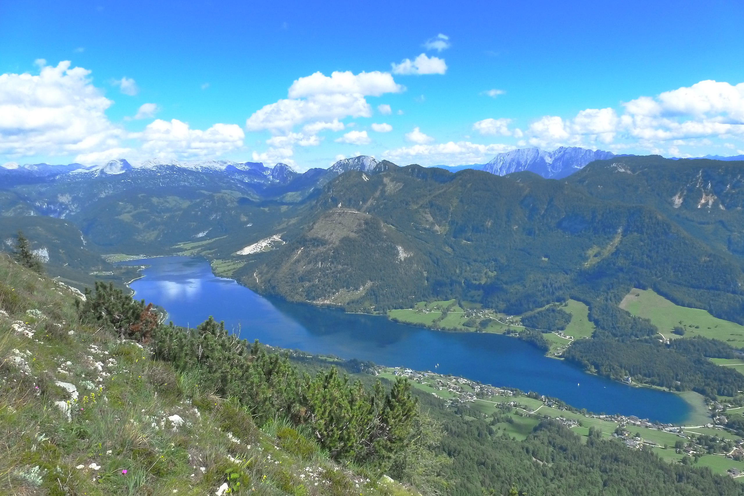
| Description | Grundlsee | ||
| Date | Taken on 18 July 2012 | ||
| Source | https://web.archive.org/web/20161024094836/http://www.panoramio.com/photo/80013424 | ||
| Author | Bernhard T | ||
| Permission (Reusing this file) |
This file is licensed under the Creative Commons Attribution-Share Alike 3.0 Unported license. Attribution: Bernhard T
|
||
| Tags (from Panoramio photo page) | Gemeinde Grundlsee, Grundlsee, hdr, Steiermark, trisselwand |
| Camera location | | View this and other nearby images on: OpenStreetMap |
|---|
| Annotations | This image is annotated: View the annotations at Commons |
File history
Click on a date/time to view the file as it appeared at that time.
| Date/Time | Thumbnail | Dimensions | User | Comment | |
|---|---|---|---|---|---|
| current | 06:16, 8 January 2017 | | 4,320 × 2,880 (4.91 MB) | Panoramio upload bot (talk | contribs) | == {{int:filedesc}} == {{Information |description=Grundlsee |date={{Taken on|2012-07-18}} |source=http://www.panoramio.com/photo/80013424 |author=[http://www.panoramio.com/user/7197798?with_photo_id=80013424 Bernhard T] |permission={{cc-by-sa-3.0|Bernh... |
You cannot overwrite this file.
File usage on Commons
The following 3 pages use this file:
File usage on other wikis
The following other wikis use this file:
- Usage on cs.wikipedia.org
- Usage on de.wikipedia.org
- Usage on de.wikivoyage.org
- Usage on en.wikipedia.org
- Usage on ru.wikipedia.org
- Usage on www.wikidata.org