File:Gryfino (gmina) location map.png
Size of this preview: 478 × 599 pixels. Other resolutions: 191 × 240 pixels | 383 × 480 pixels | 873 × 1,094 pixels.
Original file (873 × 1,094 pixels, file size: 92 KB, MIME type: image/png)
Captions
Captions
Add a one-line explanation of what this file represents
| Description |
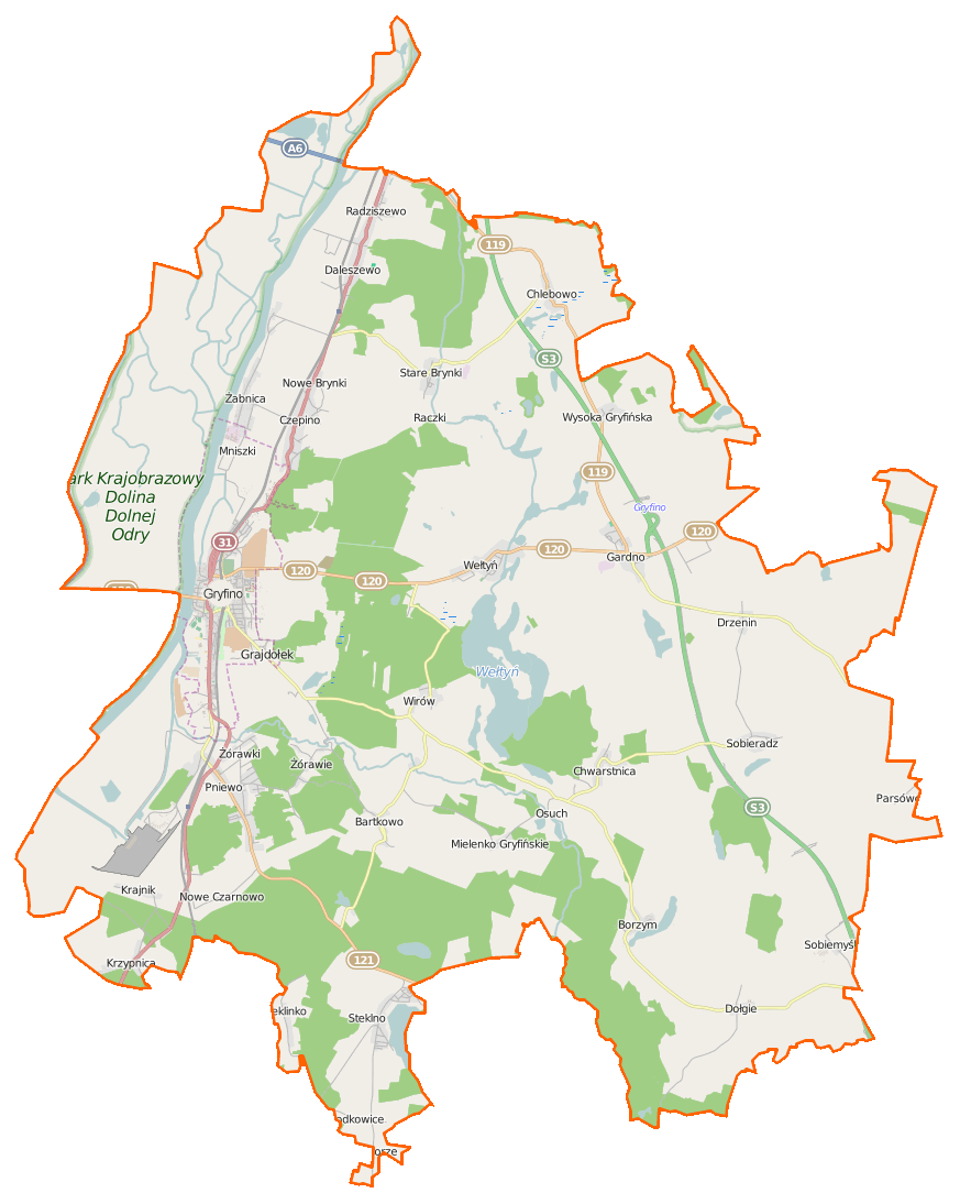
Polski: Mapa gminy Gryfino, Polska
English: Map of Gmina Gryfino, Poland |
|||||||||
| Date | ||||||||||
| Source | You may find a page on the OpenStreetMap wiki page for Gryfino (gmina) | |||||||||
| Creator |
OpenStreetMap contributors OpenStreetMap contributors |
|||||||||
| Permission (Reusing this file) |
OpenStreetMap data is available under the Open Database License (details). Map tiles are licensed under the Creative Commons Attribution-ShareAlike 2.0 license (CC-BY-SA 2.0).
This file is licensed under the Creative Commons Attribution-Share Alike 2.0 Generic license.
|
|||||||||
| Geotemporal data | ||||||||||
| Bounding box |
|
|||||||||
| Georeferencing | If inappropriate please set warp_status = skip to hide. | |||||||||
File history
Click on a date/time to view the file as it appeared at that time.
| Date/Time | Thumbnail | Dimensions | User | Comment | |
|---|---|---|---|---|---|
| current | 20:53, 13 March 2015 | | 873 × 1,094 (92 KB) | VanWiel (talk | contribs) | {{OpenStreetMap | name = Gryfino (gmina) | location = Gryfino (gmina) | description = {{pl|Mapa gminy Gryfino, Polska}} {{en|Map of Gmina Gryfino, Poland}} | top = 53.3641 | bottom = 53.1395 | left... |
You cannot overwrite this file.
File usage on Commons
There are no pages that use this file.
File usage on other wikis
The following other wikis use this file:
- Usage on be.wikipedia.org
- Usage on de.wikipedia.org
- Usage on fr.wikipedia.org
- Bartkowo
- Borzym
- Chlebowo (Gryfino)
- Chwarstnica
- Ciosna (Poméranie-Occidentale)
- Czepino
- Daleszewo
- Dębce
- Dołgie (Gryfino)
- Drzenin
- Gajki (Poméranie-Occidentale)
- Gardno (Gryfino)
- Krajnik
- Krzypnica
- Łubnica (Poméranie-Occidentale)
- Mielenko Gryfińskie
- Nowe Brynki
- Nowe Czarnowo
- Osuch
- Parsówek
- Pastuszka
- Pniewo (Gryfino)
- Raczki (Poméranie-Occidentale)
- Radziszewo (Gryfino)
- Skrzynice (Poméranie-Occidentale)
- Sobiemyśl
- Sobieradz (Gryfino)
- Śremsko
- Stare Brynki
- Steklinko
- Steklno
- Szczawno (Poméranie-Occidentale)
- Wełtyń
- Wirów (Poméranie-Occidentale)
- Wirówek (Poméranie-Occidentale)
- Włodkowice
- Wysoka Gryfińska
- Żabnica (Poméranie-Occidentale)
- Zaborze (Gryfino)
- Żórawie
- Żórawki
- Usage on pl.wikipedia.org
View more global usage of this file.
_location_map.png)
_location_map.png&oldid=519965931)