File:Höhenschichten Karte des Harzgebirges, Kartenausschnitt (4).jpg

Size of this preview: 800 × 442 pixels. Other resolutions: 320 × 177 pixels | 640 × 353 pixels | 1,248 × 689 pixels.
Original file (1,248 × 689 pixels, file size: 382 KB, MIME type: image/jpeg)
Captions
Captions
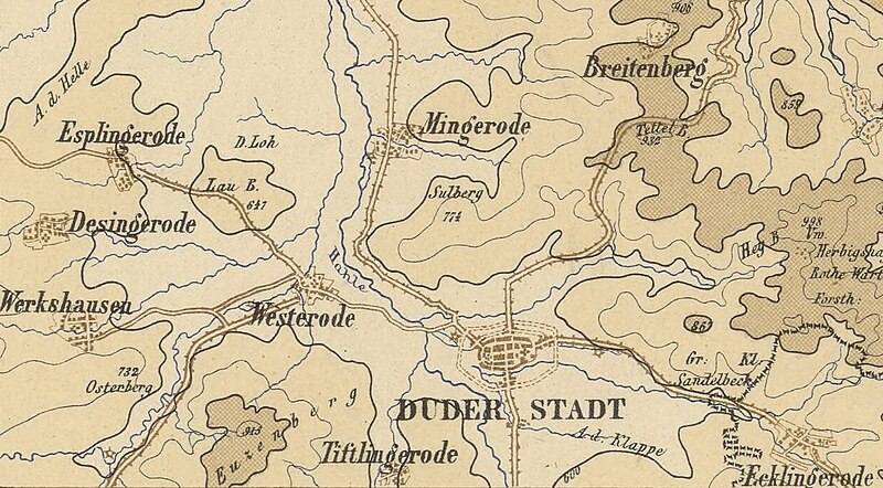
Höhenschichten Karte des Harzgebirges, Kartenausschnitt Esplingerode, Mingerode, Desingerode, Westerode, Duderstadt, Tiftlingerode
Summary
edit| Description |
English: Höhenschichten Karte des Harzgebirges, Kartenausschnitt Esplingerode, Mingerode, Desingerode, Westerode, Duderstadt, Tiftlingerode |
||||
| Date | 19th century | ||||
| Source | |||||
| Author | lithog. Institut Berlin | ||||
| Permission (Reusing this file) |
|
||||
| Other versions |
This file was derived from: Höhenschichten Karte des Harzgebirges... - btv1b53020971k.jpg |

.jpg&action=edit§ion=1)
Licensing
edit.jpg&action=edit§ion=2)
File history
Click on a date/time to view the file as it appeared at that time.
| Date/Time | Thumbnail | Dimensions | User | Comment | |
|---|---|---|---|---|---|
| current | 08:29, 16 June 2024 | | 1,248 × 689 (382 KB) | Profilleiste (talk | contribs) | Uploaded own work with UploadWizard |
You cannot overwrite this file.
File usage on Commons
There are no pages that use this file.
.jpg&oldid=884456254)