File:H25810WorldWeimar.jpg
No higher resolution available.
H25810WorldWeimar.jpg (585 × 453 pixels, file size: 99 KB, MIME type: image/jpeg)
Captions
Captions
Add a one-line explanation of what this file represents
Summary
edit
| Description |
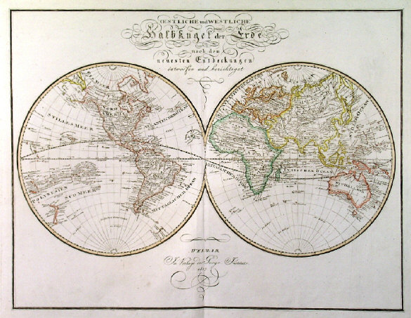
English: Double hemisphere world map in polar projection (Arctic and Antarctic) with elaborately engraved title. |
| Date | |
| Source | Geograph. Institut Weimar. ‘SUEDLICHE UND NOERDLICHE HALBKUGEL DER ERDE NACH DEN NEUESTEN ENTDECKUNGEN...’. Verlag des Geograph. |
| Author | Instituts Weimar |
Licensing
edit
|
This work is in the public domain in its country of origin and other countries and areas where the copyright term is the author's life plus 100 years or fewer. | |
| This file has been identified as being free of known restrictions under copyright law, including all related and neighboring rights. | |
Original upload log
edit
The original description page was here. All following user names refer to en.wikipedia.
| Date/Time | Dimensions | User | Comment |
|---|---|---|---|
| 2009-11-13 19:03 | 585×453× (101614 bytes) | Bbsaa | Geograph. Institut Weimar. ‘SUEDLICHE UND NOERDLICHE HALBKUGEL DER ERDE NACH DEN NEUESTEN ENTDECKUNGEN...’. Double hemisphere world map in polar projection (Arctic and Antarctic) with elaborately engraved title. Verlag des Geograph. Instituts Weimar 1 |
File history
Click on a date/time to view the file as it appeared at that time.
| Date/Time | Thumbnail | Dimensions | User | Comment | |
|---|---|---|---|---|---|
| current | 02:45, 14 September 2019 | | 585 × 453 (99 KB) | Ionutzmovie (talk | contribs) | Transferred from en.wikipedia via #commonshelper |
You cannot overwrite this file.
File usage on Commons
There are no pages that use this file.
File usage on other wikis
The following other wikis use this file:
- Usage on en.wikipedia.org
- Usage on ko.wikipedia.org
- Usage on ro.wikipedia.org