File:HH-110314-19818-Hafen-Alter-Elbtunnel.jpg
Size of this preview: 800 × 535 pixels. Other resolutions: 320 × 214 pixels | 640 × 428 pixels | 1,024 × 685 pixels | 1,280 × 857 pixels | 2,560 × 1,713 pixels | 3,459 × 2,315 pixels.
Original file (3,459 × 2,315 pixels, file size: 4.52 MB, MIME type: image/jpeg)
Captions
Captions
Add a one-line explanation of what this file represents
| Camera location | | View this and other nearby images on: OpenStreetMap |
|---|
Summary
edit
| Description |
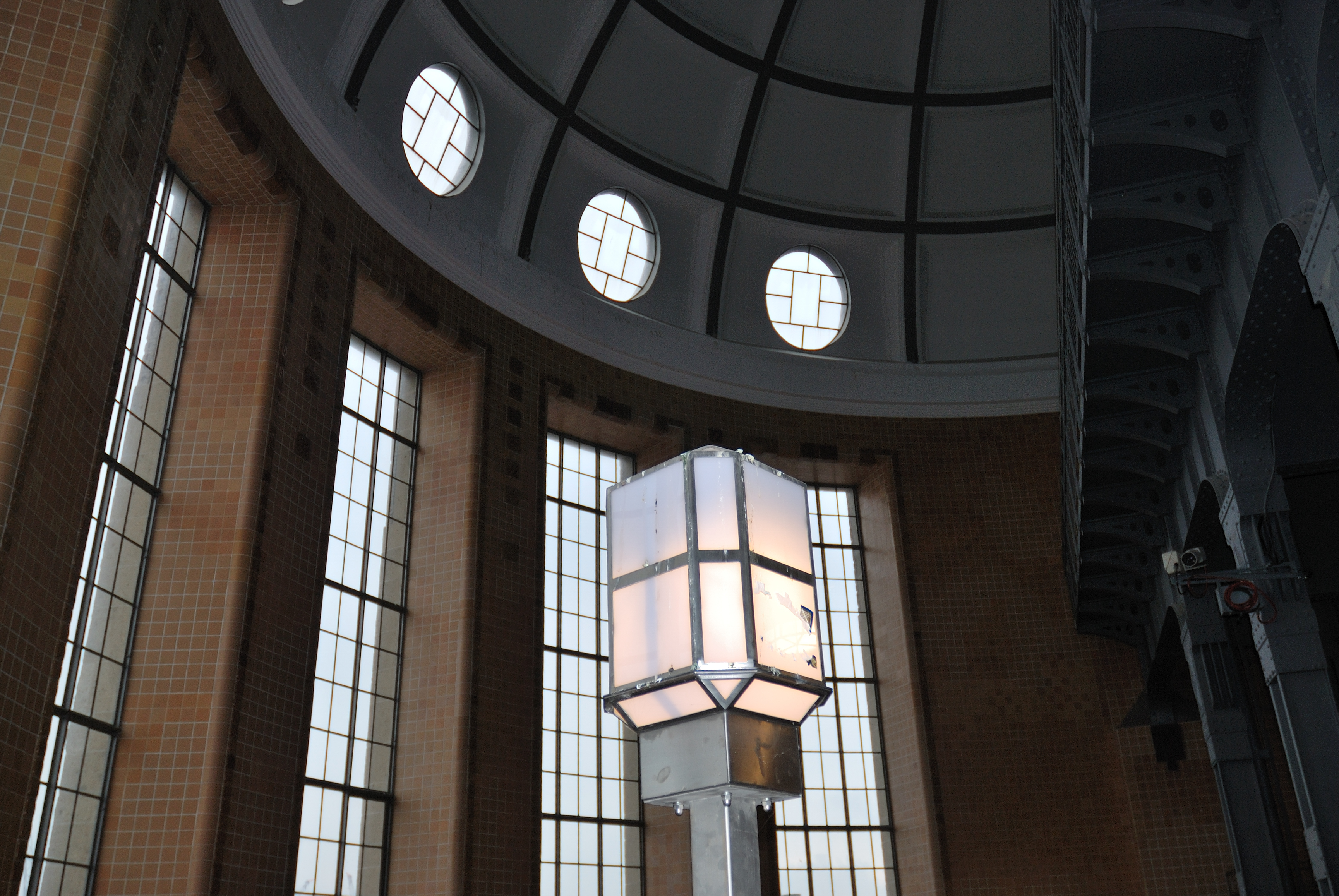
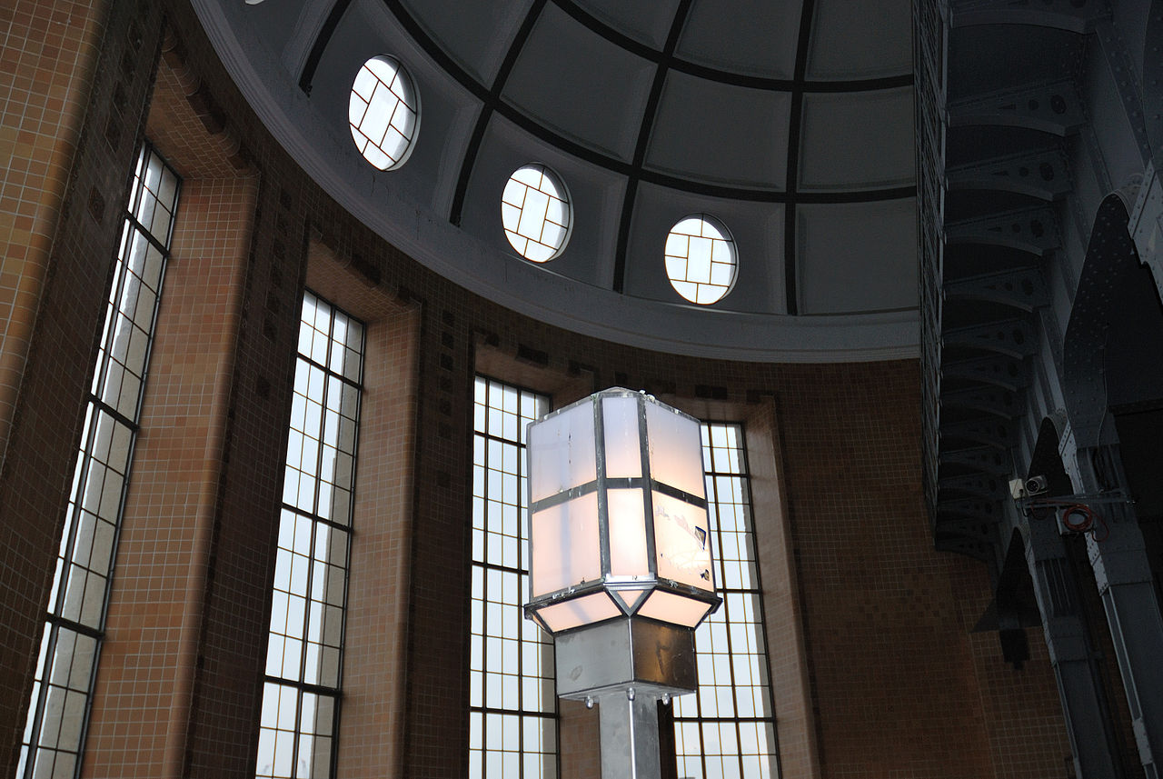
Deutsch: Der Alte Elbtunnel (offiziell: St.-Pauli–Elbtunnel) von 1911 verbindet die Hamburger Stadtteile St. Pauli und Steinwerder. Hier Eingangshalle bei den LAndungsbrücken.
This is a photograph of an architectural monument. It is on the list of cultural monuments of Hamburg, no. 1399. |
| Date | |
| Source | Own work |
| Author | Mbdortmund |
Licensing
edit

|
Permission is granted to copy, distribute and/or modify this document under the terms of the GNU Free Documentation License, Version 1.2 only as published by the Free Software Foundation; with no Invariant Sections, no Front-Cover Texts, and no Back-Cover Texts. A copy of the license is included in the section entitled GNU Free Documentation License. | 1.2 only |
File history
Click on a date/time to view the file as it appeared at that time.
| Date/Time | Thumbnail | Dimensions | User | Comment | |
|---|---|---|---|---|---|
| current | 23:56, 18 March 2011 | | 3,459 × 2,315 (4.52 MB) | Mbdortmund (talk | contribs) | {{location|53|32|45.19|N|9|58|0.55|E|region:DE}} == {{int:filedesc}} == {{Information |Description={{de|Der '''Alte Elbtunnel''' (offiziell: ''St.-Pauli–Elbtunnel'') von 1911 verbindet die Hamburger Stadtteile [[Hamburg-St. Pauli|St. |
You cannot overwrite this file.
File usage on Commons
There are no pages that use this file.