File:HUERTAS-ELORO.JPG
Original file (1,632 × 1,224 pixels, file size: 306 KB, MIME type: image/jpeg)
Captions
Captions
Summary edit
| Description |
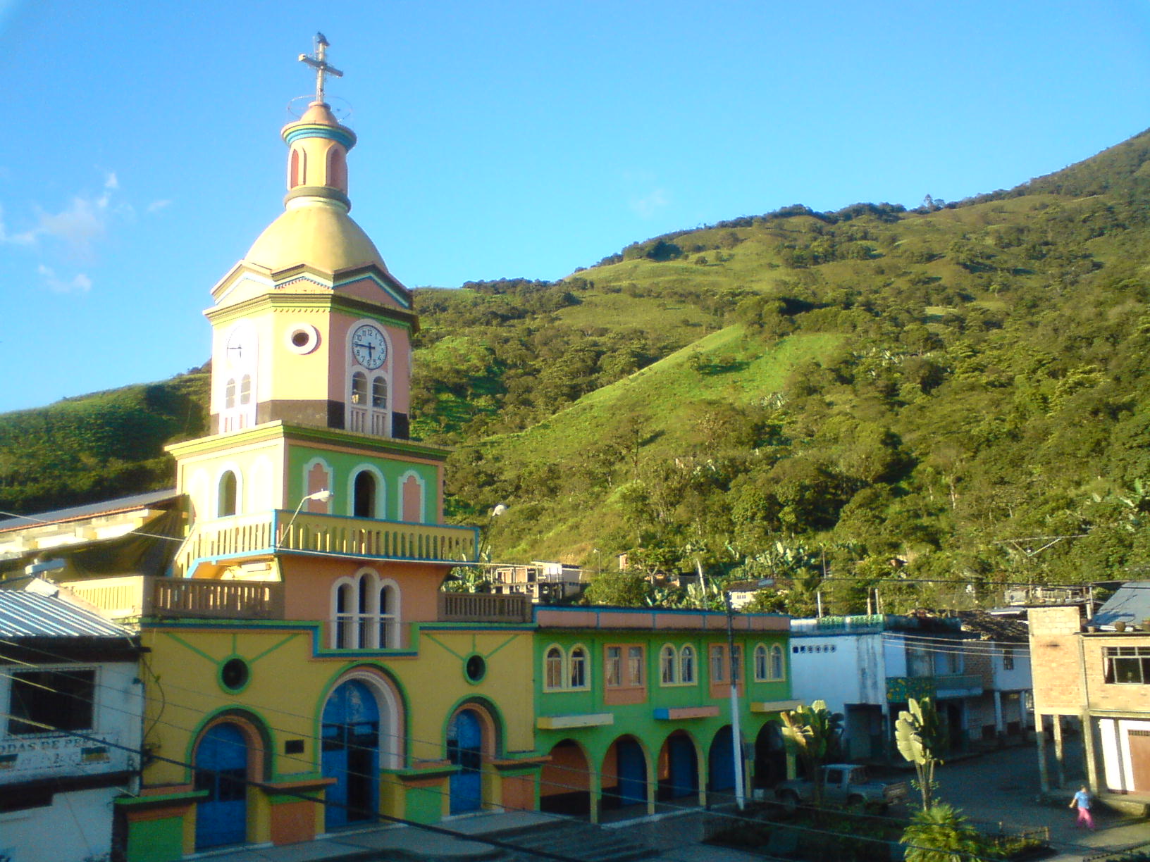
Runa Simi: Wirtas. |
| Source | Own work |
| Author | Stalinmedina |
Licensing edit

|
Permission is granted to copy, distribute and/or modify this document under the terms of the GNU Free Documentation License, Version 1.2 or any later version published by the Free Software Foundation; with no Invariant Sections, no Front-Cover Texts, and no Back-Cover Texts. A copy of the license is included in the section entitled GNU Free Documentation License. |
- You are free:
- to share – to copy, distribute and transmit the work
- to remix – to adapt the work
- Under the following conditions:
- attribution – You must give appropriate credit, provide a link to the license, and indicate if changes were made. You may do so in any reasonable manner, but not in any way that suggests the licensor endorses you or your use.
- share alike – If you remix, transform, or build upon the material, you must distribute your contributions under the same or compatible license as the original.
PARROQUIA HUERTAS INTRODUCCIÓN La parroquia Huertas se crea mediante ordenanza municipal del 27 de agosto de 1948, avalizada por acuerdo ministerial No.99 del 19 de octubre de 1948 y publicado en el Registro Oficial del 15 de diciembre de 1948. POBLACIÓN La poblacion de la parroquia Huertas es de Aproximadamente 3.000 Habt, La mayoría de la población se dedica a La Ganadería, La Agricultura y la comercialización de diversos productos. DIVISIÓN POLÍTICA DE LA PARROQUIA Se divide en Barrios tales como: - NARANJAL. - MINAS NUEVAS. - LA FÉNIX. - GUAIRAPONGO. - PLAYITAS. - EL QUISHPE. UBICACIÓN GEOGRÁFICA Comienza al sur en la desembocadura de la quebrada Miranda sobre el río Calera, sigue en el curso de dicho río aguas arriba donde toma el nombre de Salado, hasta su nacimiento en la cordillera de Chilla, continúa por esta cordillera a dar al camino que comunica a Guanazán con Zaruma en el sitio denominado Corredores, prosigue hasta el sitio el Pogllo, de donde en línea recta va a dar a la hondonada donde nace la quebrada de Miranda, siguiendo el curso de ésta hasta su desembocadura en el río Calera. Cuenta con Aproximadamente 50km de Extencion. PROYECCIONES PARA EL FUTURO El principal anhelo de los Huertences es Independizarse, Huertas tiene un proyecto de Cantonizacion en marcha, conformada legalmente. EL COMITÉ CÍVICO DE DESARROLLO PARROQUIAL Es la entidad que lucha por conseguir esta cara ambición que es difícil pero no imposible
File history
Click on a date/time to view the file as it appeared at that time.
| Date/Time | Thumbnail | Dimensions | User | Comment | |
|---|---|---|---|---|---|
| current | 14:42, 21 January 2010 | | 1,632 × 1,224 (306 KB) | Stalinmedina (talk | contribs) | {{Information |Description= |Source={{own}} |Date= |Author= Stalinmedina |Permission= |other_versions= }} |
You cannot overwrite this file.
File usage on Commons
There are no pages that use this file.
File usage on other wikis
The following other wikis use this file:
- Usage on qu.wikipedia.org