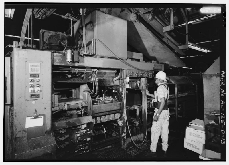
File:HUNTER 20 MATCHPLATE MOLDING MACHINE, WITH COMPLETED MOLD EXITING, DENNIS GRAY OPERATOR. - Southern Ductile Casting Company, Casting, 2217 Carolina Avenue, Bessemer, Jefferson HAER ALA,37-BES,5D-13.tif

Size of this JPG preview of this TIF file: 800 × 578 pixels. Other resolutions: 320 × 231 pixels | 640 × 462 pixels | 1,024 × 740 pixels | 1,280 × 925 pixels | 2,560 × 1,850 pixels | 5,000 × 3,613 pixels.
Original file (5,000 × 3,613 pixels, file size: 17.23 MB, MIME type: image/tiff)
Captions
Captions
Add a one-line explanation of what this file represents
Summary edit
| HUNTER 20 MATCHPLATE MOLDING MACHINE, WITH COMPLETED MOLD EXITING, DENNIS GRAY OPERATOR. - Southern Ductile Casting Company, Casting, 2217 Carolina Avenue, Bessemer, Jefferson County, AL | ||||
|---|---|---|---|---|
| Photographer |
Lowe, Jet, creator |
|||
| Title |
HUNTER 20 MATCHPLATE MOLDING MACHINE, WITH COMPLETED MOLD EXITING, DENNIS GRAY OPERATOR. - Southern Ductile Casting Company, Casting, 2217 Carolina Avenue, Bessemer, Jefferson County, AL |
|||
| Depicted place | Alabama; Jefferson County; Bessemer | |||
| Date | 1995 | |||
| Dimensions | 5 x 7 in. | |||
| Current location |
Library of Congress Prints and Photographs Division Washington, D.C. 20540 USA http://hdl.loc.gov/loc.pnp/pp.print |
|||
| Accession number |
HAER ALA,37-BES,5D-13 |
|||
| Credit line |
|
|||
| Source | https://www.loc.gov/pictures/item/al1182.photos.046871p | |||
| Permission (Reusing this file) |
|
|||

| Camera location | | View this and other nearby images on: OpenStreetMap |
|---|
File history
Click on a date/time to view the file as it appeared at that time.
| Date/Time | Thumbnail | Dimensions | User | Comment | |
|---|---|---|---|---|---|
| current | 04:29, 1 July 2014 |  | 5,000 × 3,613 (17.23 MB) | Fæ (talk | contribs) | GWToolset: Creating mediafile for Fæ. HABS batch upload 29 June 2014 (101:150) |
You cannot overwrite this file.
File usage on Commons
The following page uses this file: