File:Ha Bac.GIF
Size of this preview: 357 × 599 pixels. Other resolutions: 143 × 240 pixels | 425 × 713 pixels.
Original file (425 × 713 pixels, file size: 6 KB, MIME type: image/gif)
Captions
Captions
Add a one-line explanation of what this file represents
| Description |
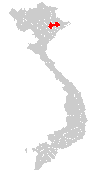
Tiếng Việt: Tỉnh Hà Bắc trên bản đồ hành chính Việt Nam năm 1976 |
| Date | |
| Source |
Tiếng Việt: Chỉnh sửa từ File:Vietnam map 1976.GIF English: Edit from File:Vietnam map 1976.GIF |
| Author | Hoàng Lương (thảo luận) |
I, the copyright holder of this work, hereby publish it under the following license:
This file is licensed under the Creative Commons Attribution-Share Alike 3.0 Unported license.
- You are free:
- to share – to copy, distribute and transmit the work
- to remix – to adapt the work
- Under the following conditions:
- attribution – You must give appropriate credit, provide a link to the license, and indicate if changes were made. You may do so in any reasonable manner, but not in any way that suggests the licensor endorses you or your use.
- share alike – If you remix, transform, or build upon the material, you must distribute your contributions under the same or compatible license as the original.
File history
Click on a date/time to view the file as it appeared at that time.
| Date/Time | Thumbnail | Dimensions | User | Comment | |
|---|---|---|---|---|---|
| current | 10:50, 9 February 2013 | | 425 × 713 (6 KB) | Hoàng Lương (talk | contribs) | {{Thông tin |Miêu tả = Tỉnh Hà Bắc trên bản đồ hành chính Việt Nam năm 1976 |Nguồn = Chỉnh sửa từ https://commons.wikimedia.org/wiki/Image:Vietnam_map_1976.GIF?uselang=vi |Ngày = 2013-2-9 |Tác… |
You cannot overwrite this file.
File usage on Commons
There are no pages that use this file.
File usage on other wikis
The following other wikis use this file:
- Usage on en.wikipedia.org