File:Hadley Manor map 1910s.jpg
Size of this preview: 800 × 463 pixels. Other resolutions: 320 × 185 pixels | 640 × 370 pixels | 875 × 506 pixels.
Original file (875 × 506 pixels, file size: 121 KB, MIME type: image/jpeg)
Captions
Captions
Add a one-line explanation of what this file represents
Summary edit
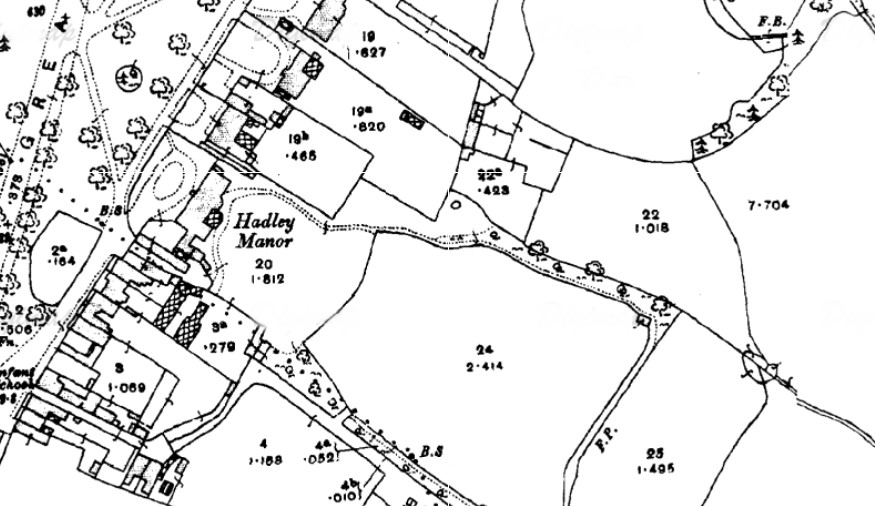
| Description |
English: Hadley Manor map 1910s. |
|||
| Date | 1910s | |||
| Source | Scan of original | |||
| Author | Ordnance Survey | |||
| Permission (Reusing this file) |
|

File history
Click on a date/time to view the file as it appeared at that time.
| Date/Time | Thumbnail | Dimensions | User | Comment | |
|---|---|---|---|---|---|
| current | 21:53, 15 October 2016 | | 875 × 506 (121 KB) | Philafrenzy (talk | contribs) | {{Information |Description ={{en|1=Hadley Manor map 1910s.}} |Source =Scan of original |Author =Ordnance Survey |Date =1910s |Permission ={{PD-UKGov}} |other_versions = }} Category:Street maps of London |
You cannot overwrite this file.
File usage on Commons
The following 3 pages use this file:
File usage on other wikis
The following other wikis use this file:
- Usage on en.wikipedia.org