File:Hanger II front view straight on looking northeast - U.S. Coast Guard Station, Hangar II, U.S. Coast Guard Support Center, Kodiak, Kodiak Island Borough, AK HABS AK,12-KODI,3-E-1.tif

Size of this JPG preview of this TIF file: 749 × 599 pixels. Other resolutions: 300 × 240 pixels | 600 × 480 pixels | 960 × 768 pixels | 1,280 × 1,024 pixels | 2,559 × 2,048 pixels | 5,000 × 4,001 pixels.
Original file (5,000 × 4,001 pixels, file size: 19.08 MB, MIME type: image/tiff)
Captions
Captions
Add a one-line explanation of what this file represents
Summary edit
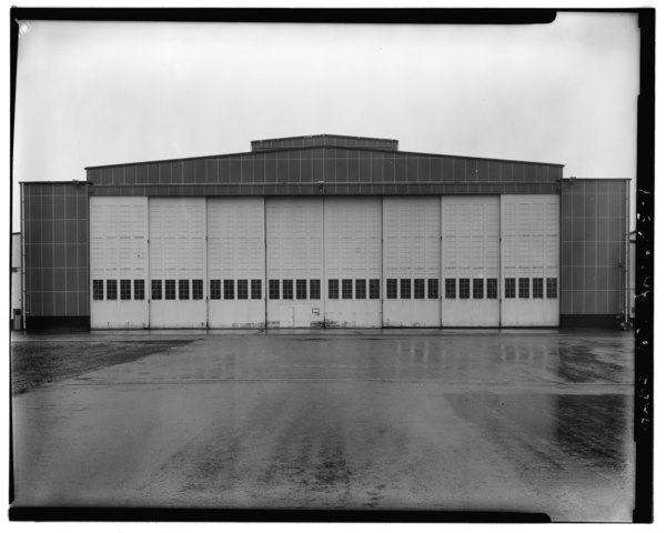
| Hanger II front view straight on looking northeast - U.S. Coast Guard Station, Hangar II, U.S. Coast Guard Support Center, Kodiak, Kodiak Island Borough, AK | ||||
|---|---|---|---|---|
| Title |
Hanger II front view straight on looking northeast - U.S. Coast Guard Station, Hangar II, U.S. Coast Guard Support Center, Kodiak, Kodiak Island Borough, AK |
|||
| Date | Documentation compiled after 1933 | |||
| Medium | 4 x 5 in. | |||
| Current location |
Library of Congress Prints and Photographs Division Washington, D.C. 20540 USA http://hdl.loc.gov/loc.pnp/pp.print |
|||
| Accession number |
HABS AK,12-KODI,3-E-1 |
|||
| Place of creation | Alaska; Kodiak Island Borough; Kodiak | |||
| Credit line |
|
|||
| Notes |
|
|||
| Source/Photographer | https://www.loc.gov/pictures/item/ak0224.photos.000411p | |||
| Permission (Reusing this file) |
|
|||

| Object location | | View this and other nearby images on: OpenStreetMap |
|---|
File history
Click on a date/time to view the file as it appeared at that time.
| Date/Time | Thumbnail | Dimensions | User | Comment | |
|---|---|---|---|---|---|
| current | 07:11, 25 June 2014 |  | 5,000 × 4,001 (19.08 MB) | Fæ (talk | contribs) | GWToolset: Creating mediafile for Fæ. HABS batch uploads start 24 June 2014 |
You cannot overwrite this file.
File usage on Commons
The following page uses this file: