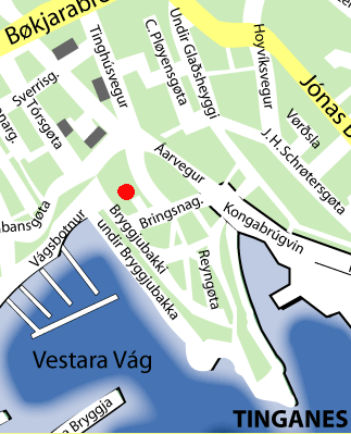
File:Havnar-kirkja-map.png
No higher resolution available.
Havnar-kirkja-map.png (323 × 399 pixels, file size: 29 KB, MIME type: image/png)
Captions
Captions
Add a one-line explanation of what this file represents
Summary edit
| Description | |
| Date | 29 October 2004 (original upload date) |
| Source | Transferred from de.wikipedia to Commons by NeverDoING using CommonsHelper. |
| Author | The original uploader was Arne List at German Wikipedia. |
| Permission (Reusing this file) |
Public Domain |
Licensing edit
| I, the copyright holder of this work, release this work into the public domain. This applies worldwide. In some countries this may not be legally possible; if so: I grant anyone the right to use this work for any purpose, without any conditions, unless such conditions are required by law. |
Original upload log edit
The original description page was here. All following user names refer to de.wikipedia.
- 2004-10-29 10:05 Arne List 323×399× (29661 bytes) Stadtplan, Public Domain
File history
Click on a date/time to view the file as it appeared at that time.
| Date/Time | Thumbnail | Dimensions | User | Comment | |
|---|---|---|---|---|---|
| current | 13:44, 15 April 2012 | | 323 × 399 (29 KB) | File Upload Bot (Magnus Manske) (talk | contribs) | Transfered from de.wikipedia by User:NeverDoING using CommonsHelper |
You cannot overwrite this file.
File usage on Commons
There are no pages that use this file.
File usage on other wikis
The following other wikis use this file:
- Usage on de.wikipedia.org