File:Hayfield Church Street 0072.JPG

Size of this preview: 800 × 600 pixels. Other resolutions: 320 × 240 pixels | 640 × 480 pixels | 1,024 × 768 pixels | 1,280 × 960 pixels | 2,592 × 1,944 pixels.
Original file (2,592 × 1,944 pixels, file size: 1.23 MB, MIME type: image/jpeg)
Captions
Captions
Add a one-line explanation of what this file represents
| Description |
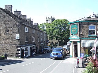
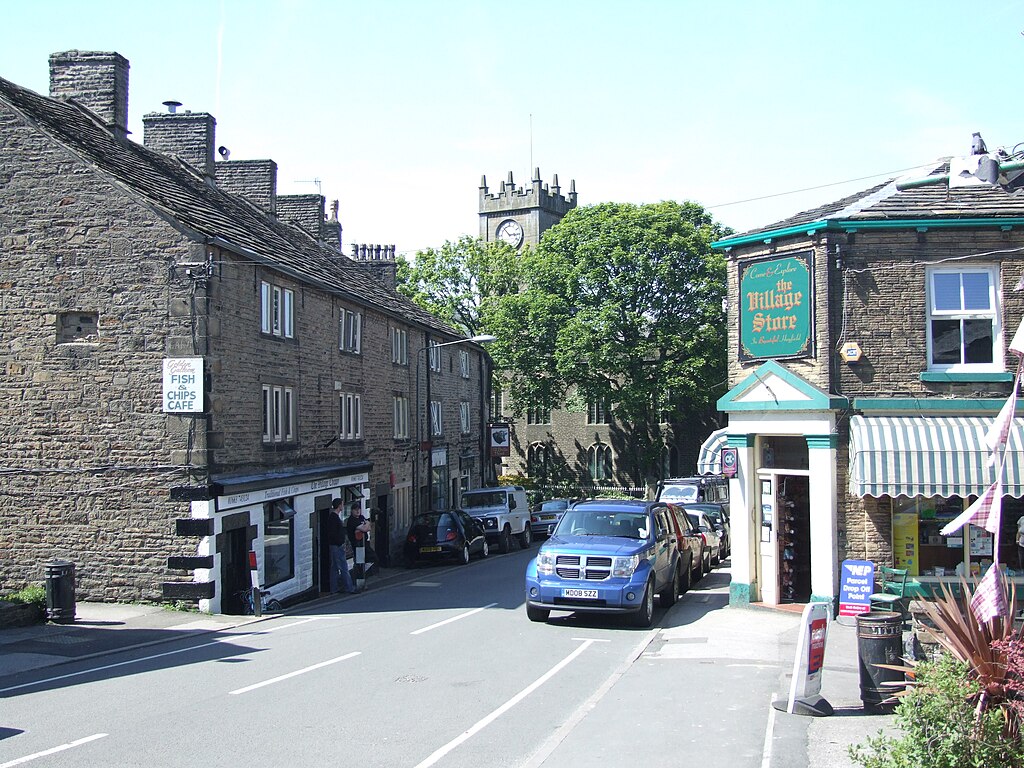
Hayfield is a village in the Peak District. Along Church Street.
|
||||
| Date | 20 July 2009 (upload date) | ||||
| Source | Own work | ||||
| Author | Clem Rutter, Rochester, Kent. | ||||
| Permission (Reusing this file) |
Attribution ShareAlike 3.0 |
This file is licensed under the Creative Commons Attribution-Share Alike 3.0 Unported license.
- You are free:
- to share – to copy, distribute and transmit the work
- to remix – to adapt the work
- Under the following conditions:
- attribution – You must give appropriate credit, provide a link to the license, and indicate if changes were made. You may do so in any reasonable manner, but not in any way that suggests the licensor endorses you or your use.
- share alike – If you remix, transform, or build upon the material, you must distribute your contributions under the same or compatible license as the original.
File history
Click on a date/time to view the file as it appeared at that time.
| Date/Time | Thumbnail | Dimensions | User | Comment | |
|---|---|---|---|---|---|
| current | 18:34, 21 July 2009 | | 2,592 × 1,944 (1.23 MB) | ClemRutter (talk | contribs) | {{Information |Description={{w|Hayfield}} is a village in the {{w|Peak District}}. Along Church Street. {{location dec|53.3790|-1.9454|heading=N}} |Source=Self made |Date=uploaded 2009-07-20 |Author=Clem Rutter, Rochester, Kent. |Permission=Attribution S |
You cannot overwrite this file.
File usage on Commons
The following 2 pages use this file:
- File:Hayfield Church Street 0072 .JPG (file redirect)
- Category:Hayfield, Derbyshire
File usage on other wikis
The following other wikis use this file:
- Usage on ceb.wikipedia.org
- Usage on cy.wikipedia.org
- Usage on en.wikipedia.org
- Usage on en.wikivoyage.org
- Usage on es.wikipedia.org
- Usage on fr.wikipedia.org
- Usage on it.wikipedia.org
- Usage on lld.wikipedia.org
- Usage on www.wikidata.org