File:Heardmont Park - panoramio (2).jpg

Size of this preview: 800 × 448 pixels. Other resolutions: 320 × 179 pixels | 640 × 358 pixels | 1,024 × 573 pixels | 1,280 × 716 pixels | 2,570 × 1,438 pixels.
Original file (2,570 × 1,438 pixels, file size: 3.75 MB, MIME type: image/jpeg)
Captions
Captions
Add a one-line explanation of what this file represents
Summary
edit.jpg&action=edit§ion=1)
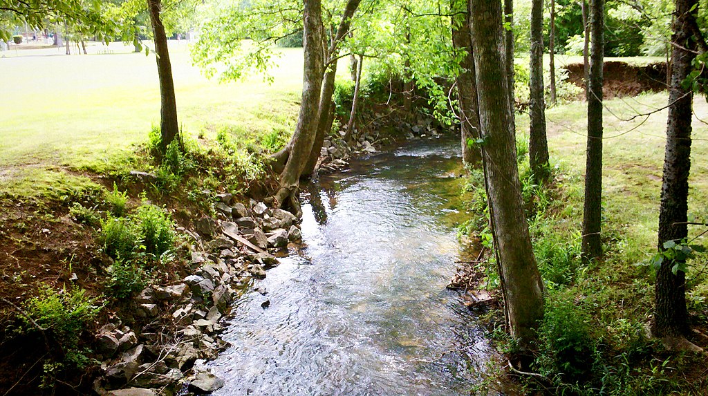
| Description | Heardmont Park | ||
| Date | Taken on 24 April 2011 | ||
| Source | https://web.archive.org/web/20161023211817/http://www.panoramio.com/photo/51616439 | ||
| Author | halytech | ||
| Permission (Reusing this file) |
This file is licensed under the Creative Commons Attribution-Share Alike 3.0 Unported license. Attribution: halytech
|
| Camera location | | View this and other nearby images on: OpenStreetMap |
|---|
.jpg¶ms=033.367258_N_-086.722464_E_globe:Earth_type:camera_source:Panoramio_&language=en)
File history
Click on a date/time to view the file as it appeared at that time.
| Date/Time | Thumbnail | Dimensions | User | Comment | |
|---|---|---|---|---|---|
| current | 06:10, 21 November 2016 | | 2,570 × 1,438 (3.75 MB) | Panoramio upload bot (talk | contribs) | == {{int:filedesc}} == {{Information |description=Heardmont Park |date={{Taken on|2011-04-24}} |source=http://www.panoramio.com/photo/51616439 |author=[http://www.panoramio.com/user/4733841?with_photo_id=51616439 halytech] |permission={{cc-by-sa-3.0|ha... |
You cannot overwrite this file.
File usage on Commons
There are no pages that use this file.
.jpg&oldid=588777823)