File:Height District Map Section No. 22 NYPL1637917.tiff
Size of this JPG preview of this TIF file: 799 × 600 pixels. Other resolutions: 320 × 240 pixels | 640 × 480 pixels | 1,023 × 768 pixels | 1,280 × 961 pixels | 2,560 × 1,922 pixels | 7,230 × 5,428 pixels.
Original file (7,230 × 5,428 pixels, file size: 112.28 MB, MIME type: image/tiff)
Captions
Captions
Add a one-line explanation of what this file represents
Summary edit
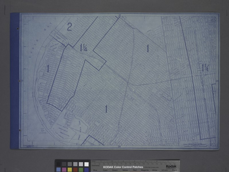
| Description | Height District Map Section No. 22; Atlases of New York city. / Height district map / City of New York, Board of Estimate and Apportionment. | |||||||||||||||||||||||
| Catalogue call number | Map Div.+++ 00-13146 | |||||||||||||||||||||||
| Item/Page/Plate | 22 | |||||||||||||||||||||||
| Date | circa 1916 | |||||||||||||||||||||||
| Source |
http://digitalgallery.nypl.org/nypldigital/dgkeysearchdetail.cfm?imageID=1637917
|
|||||||||||||||||||||||
| Author | New York (N.Y.). Board of Estimate and Apportionment -- Author | |||||||||||||||||||||||
| Permission (Reusing this file) |
From The Lionel Pincus and Princess Firyal Map Division. http://maps.nypl.org
|
|||||||||||||||||||||||
| Location | Stephen A. Schwarzman Building / The Lionel Pincus and Princess Firyal Map Division | |||||||||||||||||||||||
| Digital item published | 6-19-2008; updated 3-25-2011 | |||||||||||||||||||||||
| Digital ID | 1637917 | |||||||||||||||||||||||

The making of this file was supported by Wikimedia UK.
To see other files made with the support of Wikimedia UK, please see the category Supported by Wikimedia UK.
|
File history
Click on a date/time to view the file as it appeared at that time.
| Date/Time | Thumbnail | Dimensions | User | Comment | |
|---|---|---|---|---|---|
| current | 04:20, 29 April 2014 |  | 7,230 × 5,428 (112.28 MB) | Fæ (talk | contribs) | GWToolset:: Creating mediafile for Fæ. Tranche 3 5495-7474 (2) |
You cannot overwrite this file.
File usage on Commons
There are no pages that use this file.