File:Helsingin matkailijakartta 1940 2.jpg

Size of this preview: 573 × 599 pixels. Other resolutions: 230 × 240 pixels | 459 × 480 pixels | 735 × 768 pixels | 980 × 1,024 pixels | 1,959 × 2,048 pixels | 7,232 × 7,560 pixels.
Original file (7,232 × 7,560 pixels, file size: 38.11 MB, MIME type: image/jpeg)
Captions
Captions
Add a one-line explanation of what this file represents
| Title |
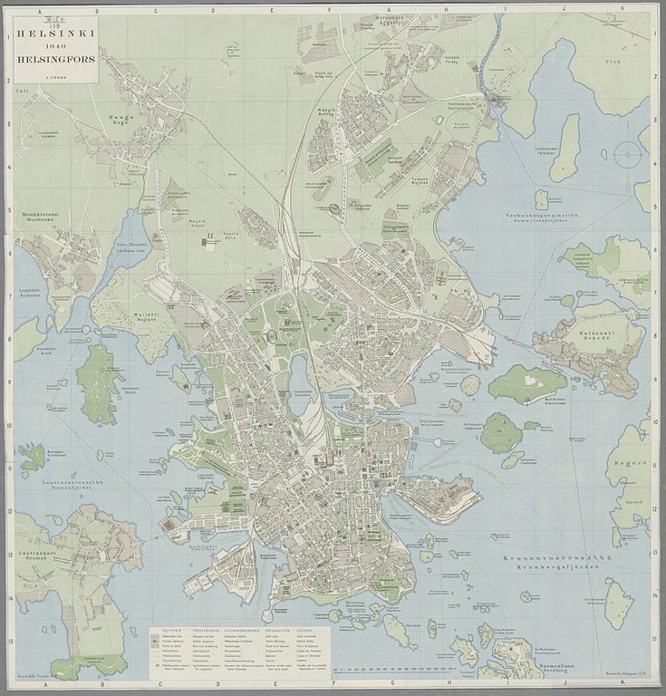
Suomi: Helsingin matkailijakartta 1940
Svenska: Turistkarta över Helsingfors
Deutsch: Helsinki : Touristenkarte
English: Helsinki : tourist map
Français : Helsinki : plan touristique |
|||||||||||||||||||||||
| Description | ||||||||||||||||||||||||
| Date | ||||||||||||||||||||||||
| Source |
|
|||||||||||||||||||||||
| Creator |
Helsingin kaupungin kiinteistötoimiston maanmittaus- ja kartastotöiden osasto |
|||||||||||||||||||||||
| Permission (Reusing this file) |
|
|||||||||||||||||||||||
| Geotemporal data | ||||||||||||||||||||||||
| Map location | Helsinki | |||||||||||||||||||||||
| Bounding box |
|
|||||||||||||||||||||||
| Georeferencing | ||||||||||||||||||||||||
| Bibliographic data | ||||||||||||||||||||||||
| Publisher |
Helsingin kaupunki |
|||||||||||||||||||||||
| Archival data | ||||||||||||||||||||||||
| Collection |
|
|||||||||||||||||||||||
| Accession number | ||||||||||||||||||||||||

File history
Click on a date/time to view the file as it appeared at that time.
| Date/Time | Thumbnail | Dimensions | User | Comment | |
|---|---|---|---|---|---|
| current | 08:58, 3 February 2015 | | 7,232 × 7,560 (38.11 MB) | Artturimatias (talk | contribs) | {{Map |title = {{fi|Helsingin matkailijakartta 1940 }} |title = {{sv|Turistkarta över Helsingfors}} |title = {{de|Helsinki : Touristenkarte}} |title = {{en|Helsinki : tourist map}} |title = {{fr|Helsinki : plan touristique}} |location = Helsinki... |
You cannot overwrite this file.
File usage on Commons
The following page uses this file: