File:Helsinki districts5.png
No higher resolution available.
Helsinki_districts5.png (587 × 496 pixels, file size: 46 KB, MIME type: image/png)
Captions
Captions
Add a one-line explanation of what this file represents

|
File:Helsinki districts.svg is a vector version of this file. It should be used in place of this PNG file when not inferior.
File:Helsinki districts5.png → File:Helsinki districts.svg
For more information, see Help:SVG. |
 |
Summary edit
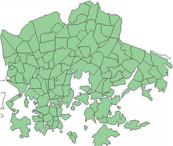
| Description | Updated map of Helsinki districts (Kaupunginosat ja osa-alueet). Now including Mustikkamaa-Korkeasaari, Eira, Ullanlinna and Kaivopuisto among others. |
| Date | |
| Source | a public domain map edited by MFantti |
| Author | MFantti |
| Permission (Reusing this file) |
Public Domain |
Licensing edit
| I, the copyright holder of this work, release this work into the public domain. This applies worldwide. In some countries this may not be legally possible; if so: I grant anyone the right to use this work for any purpose, without any conditions, unless such conditions are required by law. |
File history
Click on a date/time to view the file as it appeared at that time.
| Date/Time | Thumbnail | Dimensions | User | Comment | |
|---|---|---|---|---|---|
| current | 10:47, 23 July 2006 | | 587 × 496 (46 KB) | MFantti~commonswiki (talk | contribs) | {{Information |Description=Updated map of Helsinki districts (Kaupunginosat ja osa-alueet). Now including Mustikkamaa-Korkeasaari, Eira, Ullanlinna and Kaivopuisto among others. |Source=a public domain map edited by ~~~ |Date=July 23 2006 |Author=~~~ |Per |
You cannot overwrite this file.
File usage on Commons
There are no pages that use this file.
File usage on other wikis
The following other wikis use this file:
- Usage on fi.wikipedia.org
- Usage on hu.wikipedia.org