File:Hesse Regierungsbezirk Darmstadt location map.svg

Size of this PNG preview of this SVG file: 566 × 497 pixels. Other resolutions: 273 × 240 pixels | 547 × 480 pixels | 875 × 768 pixels | 1,166 × 1,024 pixels | 2,332 × 2,048 pixels.
Original file (SVG file, nominally 566 × 497 pixels, file size: 246 KB)
Captions
Captions
Add a one-line explanation of what this file represents
Summary edit
| Description |
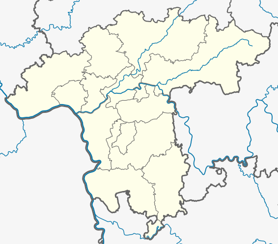
Deutsch: Positionskarte Regierungsbezirk Darmstadt in Hessen, Deutschland. Geographische Begrenzung der Karte:
English: Location map of Regierungsbezirk Darmstadt, Hesse, Germany. Geographic limits of the map:
|
| Date | |
| Source | Own work based on: Hesse location map.svg by TUBS |
| Author | NordNordWest |
Licensing edit
I, the copyright holder of this work, hereby publish it under the following license:
This file is licensed under the Creative Commons Attribution-Share Alike 3.0 Germany license.
- You are free:
- to share – to copy, distribute and transmit the work
- to remix – to adapt the work
- Under the following conditions:
- attribution – You must give appropriate credit, provide a link to the license, and indicate if changes were made. You may do so in any reasonable manner, but not in any way that suggests the licensor endorses you or your use.
- share alike – If you remix, transform, or build upon the material, you must distribute your contributions under the same or compatible license as the original.

File history
Click on a date/time to view the file as it appeared at that time.
| Date/Time | Thumbnail | Dimensions | User | Comment | |
|---|---|---|---|---|---|
| current | 15:03, 6 October 2020 | | 566 × 497 (246 KB) | NordNordWest (talk | contribs) | == {{int:filedesc}} == {{Information |Description= {{de|Positionskarte Regierungsbezirk Darmstadt in Hessen, Deutschland. Geographische Begrenzung der Karte:}} {{en|Location map of Regierungsbezirk Darmstadt, Hesse, Germany. Geographic limits of the map:}} * N: * S: * W: * E: |Source={{own based|Hesse location map.svg|by=TUBS}} |Date=2020-09-06 |Author={{U|NordNordWest}} |Permission= |other_versions= }} == {{int:license-header}} == {{self|cc-by-sa-3.0-de}} [[Category:Location maps of He... |
You cannot overwrite this file.
File usage on Commons
There are no pages that use this file.
File usage on other wikis
The following other wikis use this file:
- Usage on de.wikipedia.org
- Usage on fr.wikipedia.org