File:High Street in northwestern Mount Sterling.jpg
Size of this preview: 800 × 532 pixels. Other resolutions: 320 × 213 pixels | 640 × 426 pixels | 1,024 × 681 pixels | 1,280 × 851 pixels | 2,560 × 1,702 pixels | 6,016 × 4,000 pixels.
Original file (6,016 × 4,000 pixels, file size: 6.41 MB, MIME type: image/jpeg)
Captions
Captions
Add a one-line explanation of what this file represents
|
This is an image of a place or building that is listed on the National Register of Historic Places in the United States of America. Its reference number is 89001422. |
| Camera location | | View this and other nearby images on: OpenStreetMap |
|---|
| Description |
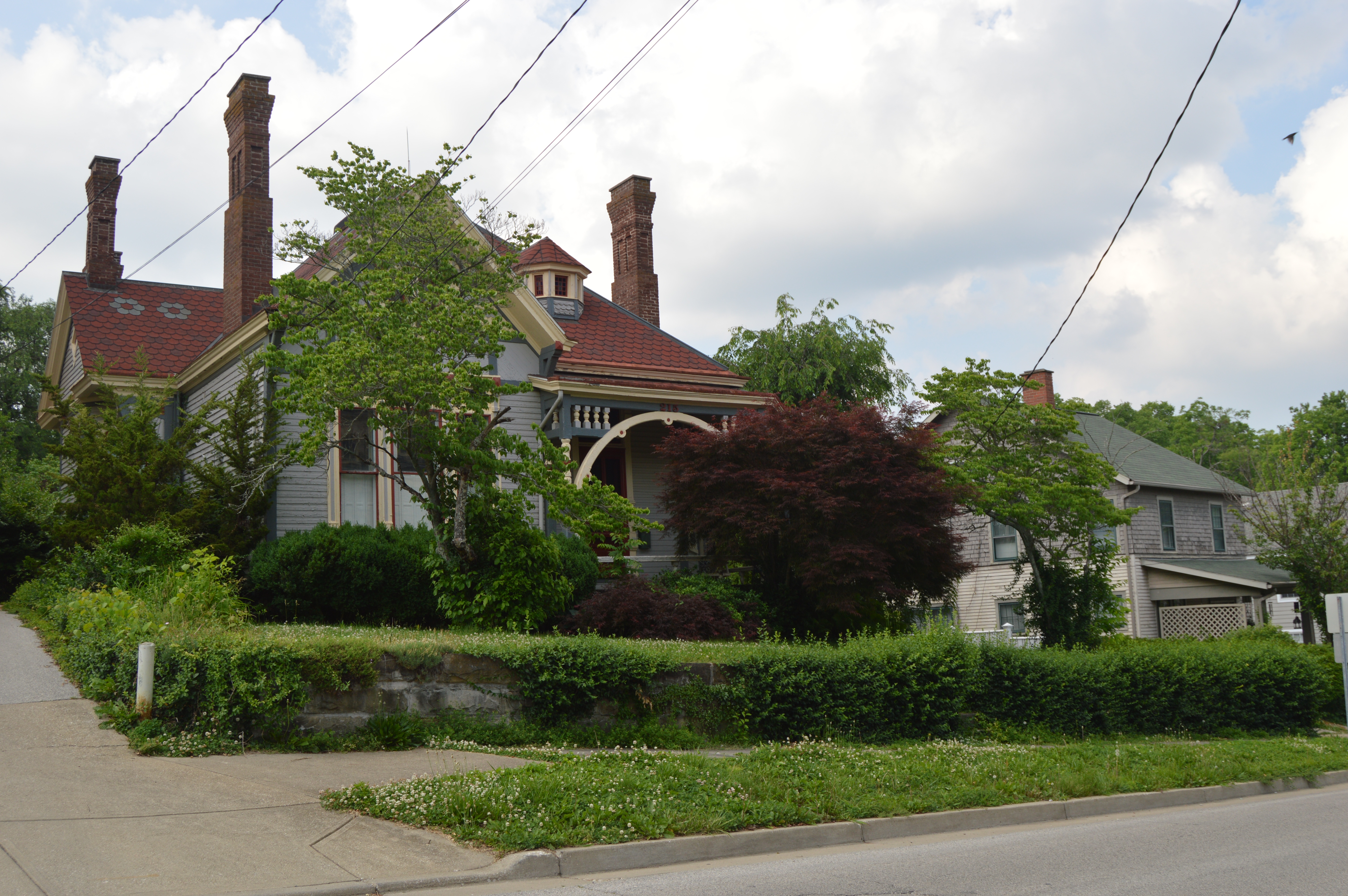
English: Houses on the northern side of the 200 block of W. High Street in Mount Sterling, Kentucky, United States. This block is part of the Northwest Residential District, a historic district that is listed on the National Register of Historic Places. |
||
| Date | Taken on 30 May 2014 | ||
| Source | Own work | ||
| Author | Nyttend | ||
| Permission (Reusing this file) |
|
File history
Click on a date/time to view the file as it appeared at that time.
| Date/Time | Thumbnail | Dimensions | User | Comment | |
|---|---|---|---|---|---|
| current | 00:51, 13 June 2014 | | 6,016 × 4,000 (6.41 MB) | Nyttend (talk | contribs) | {{NRHP|89001422}} {{Location|38|3|25|N|83|56|47|W}} {{Information |Description={{en|Houses on the northern side of the 200 block of W. High Street in {{w|Mount Sterling, Kentucky|Mount Sterling}}, {{w|Kentucky}}, {{w|United States}}. This block is par... |
You cannot overwrite this file.
File usage on Commons
There are no pages that use this file.
File usage on other wikis
The following other wikis use this file:
- Usage on en.wikipedia.org