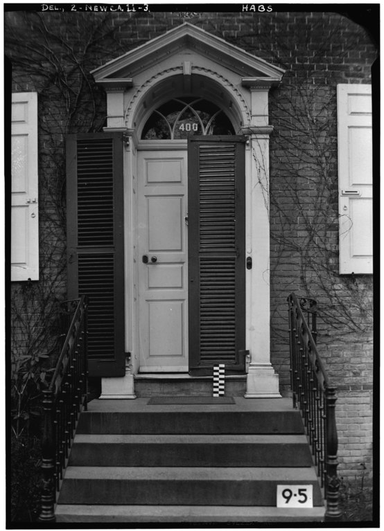
File:Historic American Buildings Survey Edward M. Rosenfeld, Photographer. April 19, 1934 DETAIL OF FRONT ENTRANCE - Nicholas Van Dyke Jr. House, 400 Delaware Street, New Castle, New HABS DEL,2-NEWCA,11-3.tif

Size of this JPG preview of this TIF file: 433 × 600 pixels. Other resolutions: 173 × 240 pixels | 346 × 480 pixels | 554 × 768 pixels | 739 × 1,024 pixels | 1,478 × 2,048 pixels | 3,609 × 5,000 pixels.
Original file (3,609 × 5,000 pixels, file size: 17.21 MB, MIME type: image/tiff)
Captions
Captions
Add a one-line explanation of what this file represents
Summary edit
| Historic American Buildings Survey Edward M. Rosenfeld, Photographer. April 19, 1934 DETAIL OF FRONT ENTRANCE - Nicholas Van Dyke Jr. House, 400 Delaware Street, New Castle, New Castle County, DE | ||||
|---|---|---|---|---|
| Title |
Historic American Buildings Survey Edward M. Rosenfeld, Photographer. April 19, 1934 DETAIL OF FRONT ENTRANCE - Nicholas Van Dyke Jr. House, 400 Delaware Street, New Castle, New Castle County, DE |
|||
| Depicted place | Delaware; New Castle County; New Castle | |||
| Date | 1934 | |||
| Dimensions | 5 x 7 in. | |||
| Current location |
Library of Congress Prints and Photographs Division Washington, D.C. 20540 USA http://hdl.loc.gov/loc.pnp/pp.print |
|||
| Accession number |
HABS DEL,2-NEWCA,11-3 |
|||
| Credit line |
|
|||
| Source | https://www.loc.gov/pictures/item/de0117.photos.031674p | |||
| Permission (Reusing this file) |
|
|||

| Camera location | | View this and other nearby images on: OpenStreetMap |
|---|
File history
Click on a date/time to view the file as it appeared at that time.
| Date/Time | Thumbnail | Dimensions | User | Comment | |
|---|---|---|---|---|---|
| current | 08:56, 10 July 2014 |  | 3,609 × 5,000 (17.21 MB) | Fæ (talk | contribs) | GWToolset: Creating mediafile for Fæ. HABS 09 July 2014 (801:1000) |
You cannot overwrite this file.
File usage on Commons
The following page uses this file: