File:Historic American Buildings Survey Golden Gate Park Museum San Francisco, California Original- 1870's Re-photo- February 1940 VIEW FROM SOUTH - Mission San Antonio de Padua, HABS CAL,27-JOLO.V,1-9.tif
Size of this JPG preview of this TIF file: 800 × 566 pixels. Other resolutions: 320 × 226 pixels | 640 × 453 pixels | 1,024 × 724 pixels | 1,280 × 905 pixels | 2,560 × 1,810 pixels | 5,000 × 3,536 pixels.
Original file (5,000 × 3,536 pixels, file size: 16.86 MB, MIME type: image/tiff)
Captions
Captions
Add a one-line explanation of what this file represents
Summary edit
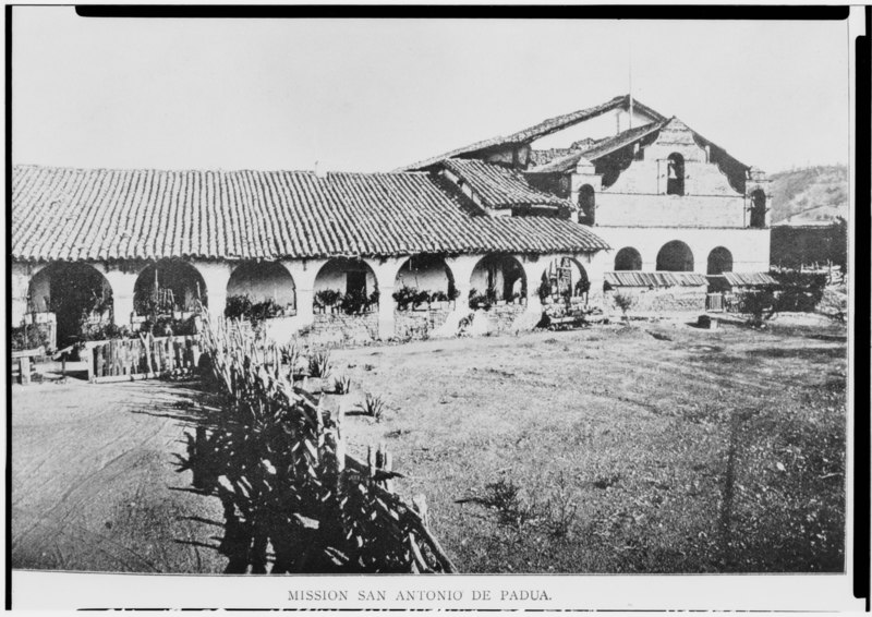
| Historic American Buildings Survey Golden Gate Park Museum San Francisco, California Original- 1870's Re-photo- February 1940 VIEW FROM SOUTH - Mission San Antonio de Padua, Hunter Liggett Military Reservation, Jolon, Monterey County, CA | ||||
|---|---|---|---|---|
| Title |
Historic American Buildings Survey Golden Gate Park Museum San Francisco, California Original- 1870's Re-photo- February 1940 VIEW FROM SOUTH - Mission San Antonio de Padua, Hunter Liggett Military Reservation, Jolon, Monterey County, CA |
|||
| Depicted place | California; Monterey County; Jolon | |||
| Date | Documentation compiled after 1933 | |||
| Dimensions | 5 x 7 in. | |||
| Current location |
Library of Congress Prints and Photographs Division Washington, D.C. 20540 USA http://hdl.loc.gov/loc.pnp/pp.print |
|||
| Accession number |
HABS CAL,27-JOLO.V,1-9 |
|||
| Credit line |
|
|||
| Notes |
|
|||
| Source | https://www.loc.gov/pictures/item/ca0362.photos.013587p | |||
| Permission (Reusing this file) |
|
|||

| Object location | | View this and other nearby images on: OpenStreetMap |
|---|
File history
Click on a date/time to view the file as it appeared at that time.
| Date/Time | Thumbnail | Dimensions | User | Comment | |
|---|---|---|---|---|---|
| current | 07:08, 3 July 2014 |  | 5,000 × 3,536 (16.86 MB) | Fæ (talk | contribs) | GWToolset: Creating mediafile for Fæ. HABS 3 July 2014 (201:300) |
You cannot overwrite this file.
File usage on Commons
The following page uses this file: