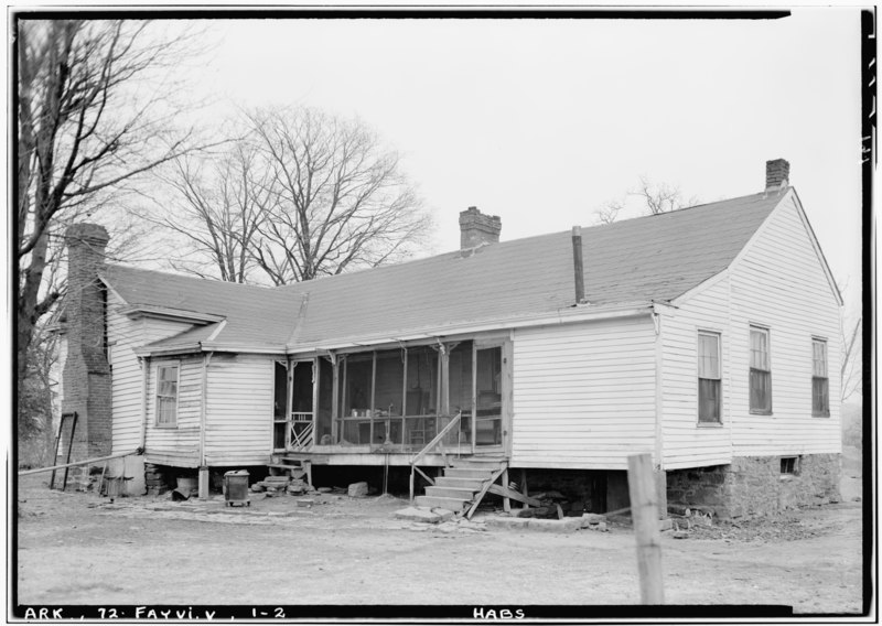
File:Historic American Buildings Survey Lester Jones, Photographer March 3, 1940 VIEW FROM SOUTHWEST - Archibald Yell House, Fayetteville, Washington County, AR HABS ARK,72-FAYVI.V,1-2.tif
Size of this JPG preview of this TIF file: 800 × 568 pixels. Other resolutions: 320 × 227 pixels | 640 × 454 pixels | 1,024 × 727 pixels | 1,280 × 908 pixels | 2,560 × 1,817 pixels | 5,000 × 3,548 pixels.
Original file (5,000 × 3,548 pixels, file size: 16.92 MB, MIME type: image/tiff)
Captions
Captions
Add a one-line explanation of what this file represents
Summary edit
| Historic American Buildings Survey Lester Jones, Photographer March 3, 1940 VIEW FROM SOUTHWEST - Archibald Yell House, Fayetteville, Washington County, AR | ||||
|---|---|---|---|---|
| Photographer |
Related names:
|
|||
| Title |
Historic American Buildings Survey Lester Jones, Photographer March 3, 1940 VIEW FROM SOUTHWEST - Archibald Yell House, Fayetteville, Washington County, AR |
|||
| Depicted place | Arkansas; Washington County; Fayetteville | |||
| Date | Documentation compiled after 1933 | |||
| Dimensions | 5 x 7 in. | |||
| Current location |
Library of Congress Prints and Photographs Division Washington, D.C. 20540 USA http://hdl.loc.gov/loc.pnp/pp.print |
|||
| Accession number |
HABS ARK,72-FAYVI.V,1-2 |
|||
| Credit line |
|
|||
| Notes |
|
|||
| Source | https://www.loc.gov/pictures/item/ar0021.photos.010607p | |||
| Permission (Reusing this file) |
|
|||

| Camera location | | View this and other nearby images on: OpenStreetMap |
|---|
File history
Click on a date/time to view the file as it appeared at that time.
| Date/Time | Thumbnail | Dimensions | User | Comment | |
|---|---|---|---|---|---|
| current | 00:56, 27 June 2014 |  | 5,000 × 3,548 (16.92 MB) | Fæ (talk | contribs) | GWToolset: Creating mediafile for Fæ. HABS batch upload 26 June 2014 (151:200) |
You cannot overwrite this file.
File usage on Commons
The following page uses this file: