File:Hochschwung.JPG

Size of this preview: 800 × 600 pixels. Other resolutions: 320 × 240 pixels | 640 × 480 pixels | 1,024 × 768 pixels | 1,280 × 960 pixels | 2,560 × 1,920 pixels | 5,184 × 3,888 pixels.
Original file (5,184 × 3,888 pixels, file size: 6.38 MB, MIME type: image/jpeg)
Captions
Captions
Add a one-line explanation of what this file represents
Summary
edit
| Description |
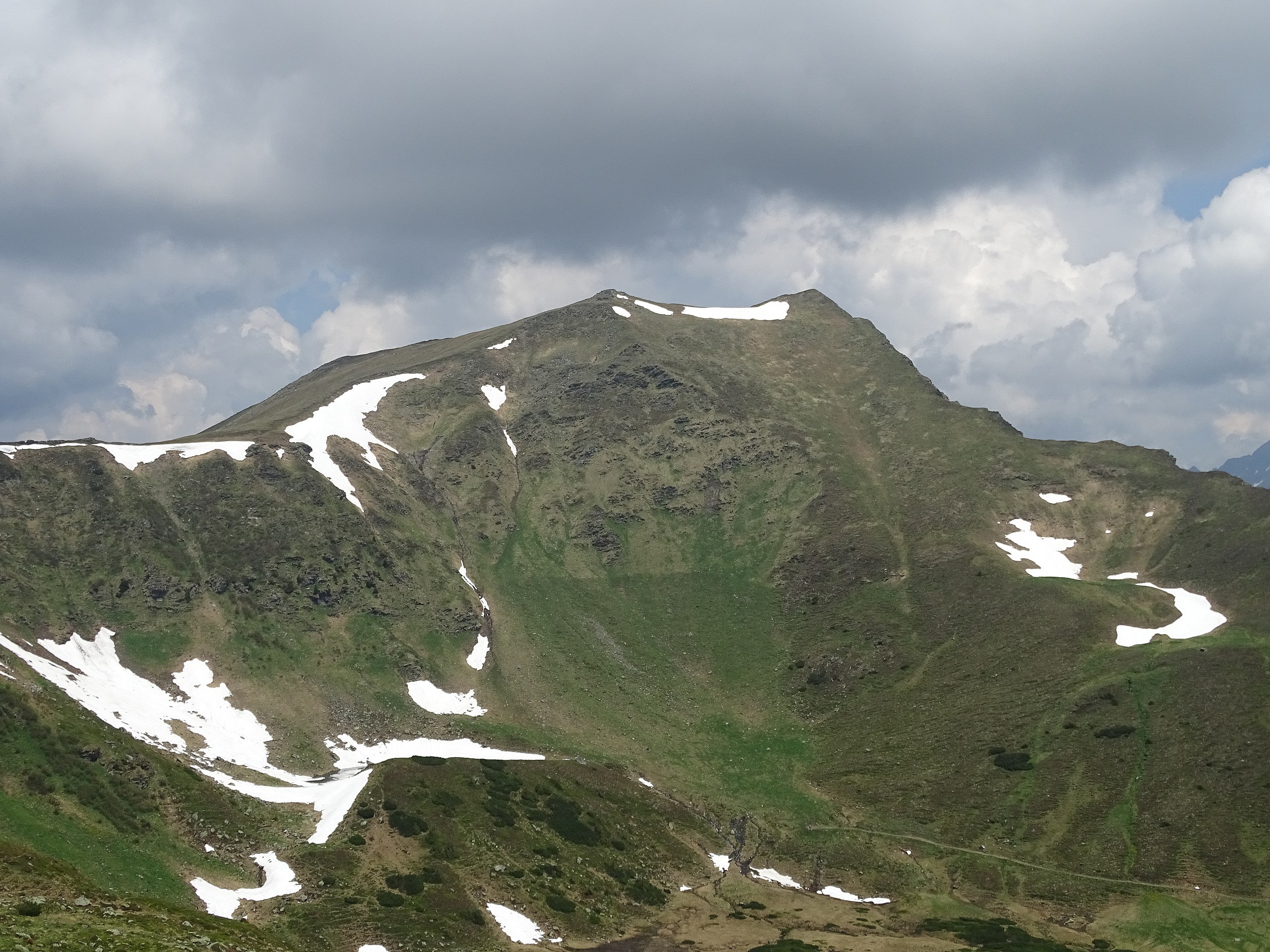
English: Hochschwung as seen from Tubayalm
Deutsch: Hochschwung von der Tubayalm aus gesehen. |
| Date | |
| Source | Own work |
| Author | Gabriel Stabentheiner |
| Camera location | | View this and other nearby images on: OpenStreetMap |
|---|
Licensing
edit

|
The copyright holder of this work allows anyone to use it for any purpose including unrestricted redistribution, commercial use, and modification.
Usage notes:
|
Original upload log
edit
Transferred from de.wikipedia to Commons by Wdwdbot using script bot_filetrans.pl (r85M).
The original description page was here. All following user names refer to de.wikipedia.
- 2017-06-05 10:55:55 Stabenth (6691764 Bytes) {{Information |Beschreibung = Hochschwung as seen from Tubayalm |Quelle = own work |Urheber = Gabriel Stabentheiner |Datum = 03.06.2017 |Genehmigung = |Andere Versionen = |Anmerkungen = }}
File history
Click on a date/time to view the file as it appeared at that time.
| Date/Time | Thumbnail | Dimensions | User | Comment | |
|---|---|---|---|---|---|
| current | 19:11, 5 June 2017 | | 5,184 × 3,888 (6.38 MB) | Wdwdbot (talk | contribs) | Bot Move: Original uploader of this revision (#1) was Stabenth at de.wikipedia |
You cannot overwrite this file.
File usage on Commons
There are no pages that use this file.
File usage on other wikis
The following other wikis use this file:
- Usage on ceb.wikipedia.org
- Usage on de.wikipedia.org
- Usage on www.wikidata.org
- Usage on zh.wikipedia.org