File:Hooge Weg 4 Kalenberg.jpg

Size of this preview: 800 × 600 pixels. Other resolutions: 320 × 240 pixels | 640 × 480 pixels | 1,024 × 768 pixels | 1,280 × 960 pixels | 1,824 × 1,368 pixels.
Original file (1,824 × 1,368 pixels, file size: 430 KB, MIME type: image/jpeg)
Captions
Captions
Add a one-line explanation of what this file represents
|
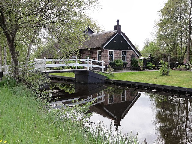
This is an image of rijksmonument number 39898 Information from structured data: |
Summary edit
| Description |
Nederlands: Boerderijtje ( Giethoornse vorm van de hallehuisgroep) aan de Hooge Weg 4 - Weerribben (rijksmonument) |
| Date | |
| Source | Own work |
| Author | Gouwenaar |
| Object location | | View this and other nearby images on: OpenStreetMap |
|---|
Licensing edit
| I, the copyright holder of this work, release this work into the public domain. This applies worldwide. In some countries this may not be legally possible; if so: I grant anyone the right to use this work for any purpose, without any conditions, unless such conditions are required by law. |
File history
Click on a date/time to view the file as it appeared at that time.
| Date/Time | Thumbnail | Dimensions | User | Comment | |
|---|---|---|---|---|---|
| current | 20:32, 10 May 2010 | | 1,824 × 1,368 (430 KB) | Gouwenaar (talk | contribs) | {{Information |Description= {{nl|Boerderijtje ( Giethoornse vorm van de hallehuisgroep) aan de Hooge Weg 4 - Weerribben (rijksmonument)}} |Source={{own}} |Date=2010-05-10 |Author=Gouwenaar |Permission= |other_versions= }} [[Category:Ka |
You cannot overwrite this file.
File usage on Commons
The following 2 pages use this file:
File usage on other wikis
The following other wikis use this file:
- Usage on nl.wikipedia.org
- Usage on www.wikidata.org