File:Horndalsvandring 2011-10-30 (9).JPG

Size of this preview: 800 × 533 pixels. Other resolutions: 320 × 213 pixels | 640 × 427 pixels | 1,024 × 683 pixels | 1,280 × 853 pixels | 2,560 × 1,707 pixels | 5,184 × 3,456 pixels.
Original file (5,184 × 3,456 pixels, file size: 8.15 MB, MIME type: image/jpeg)
Captions
Captions
Add a one-line explanation of what this file represents
Summary edit
.JPG&action=edit§ion=1)
| Description |
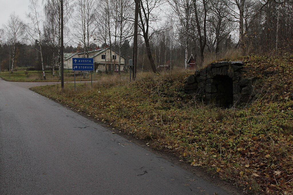
Svenska: Horndal, Avesta kommun, Sverige. Jordkällare nära "Hagen" (i bakgrunden), i närheten av det nedlagda järnverket (till vänster, utanför bild). De undermåliga arbetarbostäderna i Sibirien och Skvallerbo revs i mitten av 1960-talet. I Hagen rustades de upp (bland annat fick ett av husen badkar i lägenheterna) och reveterades, och i Sibirien byggdes nya hus upp 1969–1970. |
| Date | |
| Source | Own work |
| Author | Calle Eklund/V-wolf |
| Camera location | | View this and other nearby images on: OpenStreetMap |
|---|
.JPG¶ms=060.296458_N_0016.420633_E_globe:Earth_type:camera_region:SE_heading:315.00&language=en)
Licensing edit
.JPG&action=edit§ion=2)
I, the copyright holder of this work, hereby publish it under the following license:
This file is licensed under the Creative Commons Attribution-Share Alike 3.0 Unported license.
- You are free:
- to share – to copy, distribute and transmit the work
- to remix – to adapt the work
- Under the following conditions:
- attribution – You must give appropriate credit, provide a link to the license, and indicate if changes were made. You may do so in any reasonable manner, but not in any way that suggests the licensor endorses you or your use.
- share alike – If you remix, transform, or build upon the material, you must distribute your contributions under the same or compatible license as the original.
File history
Click on a date/time to view the file as it appeared at that time.
| Date/Time | Thumbnail | Dimensions | User | Comment | |
|---|---|---|---|---|---|
| current | 21:46, 30 December 2011 | | 5,184 × 3,456 (8.15 MB) | V-wolf (talk | contribs) |
You cannot overwrite this file.
File usage on Commons
The following page uses this file:
.JPG&oldid=530004529)