File:Hornisgrinde Hangar.jpg

Size of this preview: 782 × 600 pixels. Other resolutions: 313 × 240 pixels | 626 × 480 pixels | 1,002 × 768 pixels | 1,280 × 981 pixels | 2,560 × 1,963 pixels | 2,880 × 2,208 pixels.
Original file (2,880 × 2,208 pixels, file size: 606 KB, MIME type: image/jpeg)
Captions
Captions
Add a one-line explanation of what this file represents
Summary edit
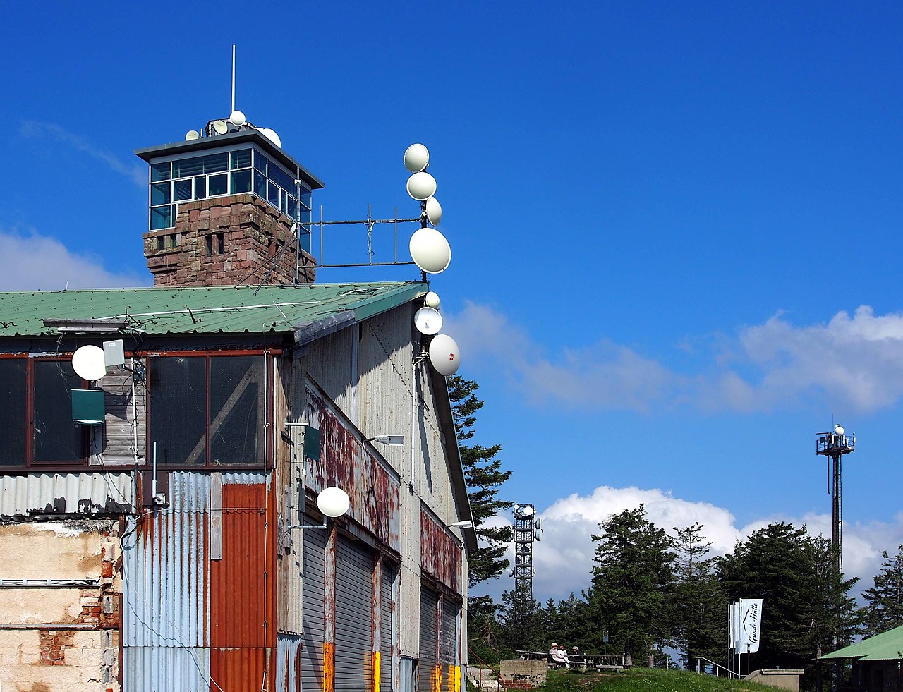
| Description | Gebäude und Richtfunk auf der Hornisgrinde |
| Date | |
| Source | Own work |
| Author | Ikar.us |
| Permission (Reusing this file) |
I, the copyright holder of this work, hereby publish it under the following license: This file is licensed under the Creative Commons Attribution 3.0 Germany license.
 |
| Camera location | | View this and other nearby images on: OpenStreetMap |
|---|
File history
Click on a date/time to view the file as it appeared at that time.
| Date/Time | Thumbnail | Dimensions | User | Comment | |
|---|---|---|---|---|---|
| current | 10:38, 21 July 2021 | | 2,880 × 2,208 (606 KB) | Ikar.us (talk | contribs) | {{Information |Description=Gebäude auf der Hornisgrinde |Source={{own}} |Date=2021-07 |Author=Ikar.us |Permission={{self|cc-by-3.0-de}} }}{{Location|48.60132|8.19959|heading:E}} Category:Hornisgrinde Category:Microwave towers |
You cannot overwrite this file.
File usage on Commons
There are no pages that use this file.
File usage on other wikis
The following other wikis use this file:
- Usage on als.wikipedia.org
- Usage on de.wikipedia.org