File:Hovey Lake Archaeological District.jpg

Size of this preview: 800 × 600 pixels. Other resolutions: 320 × 240 pixels | 640 × 480 pixels | 1,024 × 768 pixels | 1,280 × 960 pixels | 2,560 × 1,920 pixels | 2,816 × 2,112 pixels.
Original file (2,816 × 2,112 pixels, file size: 2.51 MB, MIME type: image/jpeg)
Captions
Captions
Add a one-line explanation of what this file represents
|
This is an image of a place or building that is listed on the National Register of Historic Places in the United States of America. Its reference number is 85002130. |
| Camera location | | View this and other nearby images on: OpenStreetMap |
|---|
| Description |
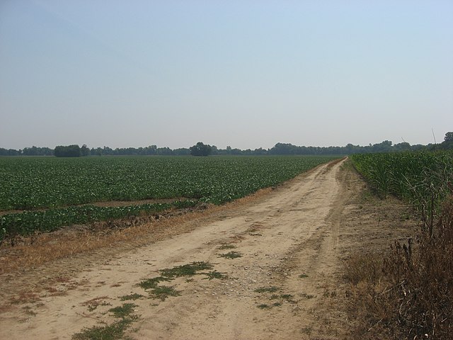
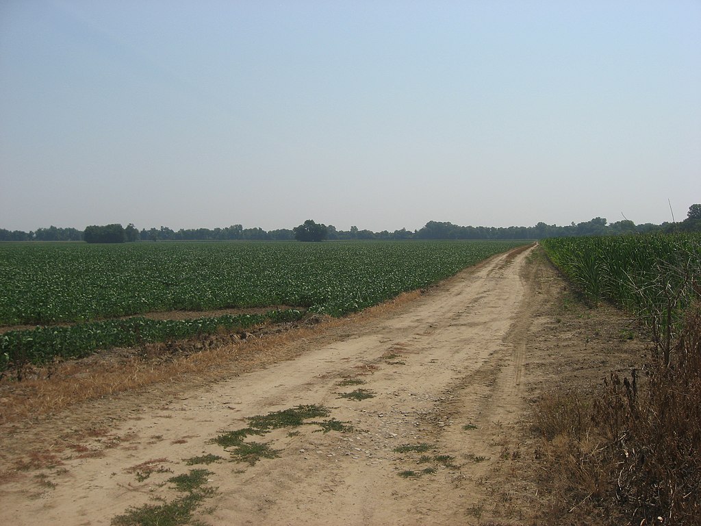
English: A road in the Hovey Lake Fish and Wildlife Area east of Hovey Lake, located southwest of Mount Vernon in Point Township, Posey County, Indiana, United States. The road traverses the Hovey Lake Archaeological District, a group of archaeological sites that is listed on the National Register of Historic Places. |
||
| Date | Taken on 30 June 2012 | ||
| Source | Own work | ||
| Author | Nyttend | ||
| Permission (Reusing this file) |
|
File history
Click on a date/time to view the file as it appeared at that time.
| Date/Time | Thumbnail | Dimensions | User | Comment | |
|---|---|---|---|---|---|
| current | 18:10, 4 July 2012 | | 2,816 × 2,112 (2.51 MB) | Nyttend (talk | contribs) | {{NRHP|85002130}} {{Location|37|50|26|N|87|55|42|W}} {{Information |Description={{en|A road in the {{w|Hovey Lake Fish and Wildlife Area}} east of Hovey Lake, located southwest of {{w|Mount Vernon, Indiana|Mount Vernon}} in {{w|Point Township, Posey Co... |
You cannot overwrite this file.
File usage on Commons
There are no pages that use this file.
File usage on other wikis
The following other wikis use this file:
- Usage on de.wikipedia.org
- Usage on en.wikipedia.org
- Usage on www.wikidata.org