File:Hungaria harta.png
No higher resolution available.
Hungaria_harta.png (635 × 324 pixels, file size: 27 KB, MIME type: image/png)
Captions
Captions
Add a one-line explanation of what this file represents
Summary edit
| Description |
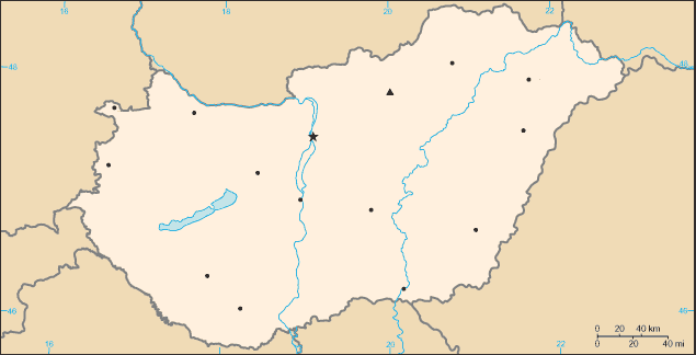
English: Blank map of Hungary. |
| Date | |
| Source |
This file was derived from: Hu-map de.png: |
| Author |
Licensing edit
This work is based on a work in the public domain. It has been digitally enhanced and/or modified. This derivative work has been (or is hereby) released into the public domain by its author, Ireas. This applies worldwide.
In some countries this may not be legally possible; if so: |
This image is in the public domain because it contains materials that originally came from the United States Central Intelligence Agency's World Factbook.
|
 |
File history
Click on a date/time to view the file as it appeared at that time.
| Date/Time | Thumbnail | Dimensions | User | Comment | |
|---|---|---|---|---|---|
| current | 11:50, 19 January 2015 | | 635 × 324 (27 KB) | Zerind (talk | contribs) | +Kaposvár, +Békéscsaba (hogy csökkenjenek az üres területek) |
| 20:44, 13 July 2013 |  | 635 × 324 (10 KB) | Piroska (talk | contribs) | User created page with UploadWizard |
You cannot overwrite this file.
File usage on Commons
The following 2 pages use this file:
- File:000 Hungaria harta.PNG (file redirect)
- File:Venhryja be.png
File usage on other wikis
The following other wikis use this file:
- Usage on hu.wikipedia.org
- Usage on hu.wikibooks.org
- Usage on hu.wiktionary.org
- Usage on pl.wikipedia.org
- Usage on sq.wikipedia.org
- Usage on tr.wikipedia.org