File:Hwy 67, Fort Garry Rd, St. Andrews - panoramio (34).jpg

Size of this preview: 800 × 600 pixels. Other resolutions: 320 × 240 pixels | 640 × 480 pixels | 1,024 × 768 pixels | 1,280 × 960 pixels | 2,048 × 1,536 pixels.
Original file (2,048 × 1,536 pixels, file size: 584 KB, MIME type: image/jpeg)
Captions
Captions
Add a one-line explanation of what this file represents
Summary edit
.jpg&action=edit§ion=1)
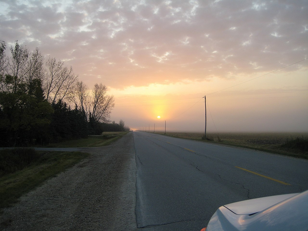
| Description | Hwy 67, Fort Garry Rd, St. Andrews | ||
| Date | 28 March 2016 (original upload date) | ||
| Source | https://web.archive.org/web/20161102054927/http://www.panoramio.com/photo/129154082 | ||
| Author | Bob Linsdell | ||
| Permission (Reusing this file) |
This file is licensed under the Creative Commons Attribution 3.0 Unported license. Attribution: Bob Linsdell
|
||
| Panoramio Tags | St. Andrews |
| Camera location | | View this and other nearby images on: OpenStreetMap |
|---|
.jpg¶ms=050.137278_N_-097.038138_E_globe:Earth_type:camera_source:Panoramio_&language=en)
File history
Click on a date/time to view the file as it appeared at that time.
| Date/Time | Thumbnail | Dimensions | User | Comment | |
|---|---|---|---|---|---|
| current | 11:09, 2 July 2017 | | 2,048 × 1,536 (584 KB) | Panoramio upload bot (talk | contribs) | == {{int:filedesc}} == {{Information |description=Hwy 67, Fort Garry Rd, St. Andrews |date={{Original upload date|2016-03-28}} |source=http://www.panoramio.com/photo/129154082 |author=[http://www.panoramio.com/user/7508506?with_photo_id=129154082 Bob L... |
You cannot overwrite this file.
File usage on Commons
There are no pages that use this file.
.jpg&oldid=504523314)