File:ITA — Region Trentino-Südtirol — Provinz Bozen — Gemeinde Dobbiaco (Dürrensee und Umgebung) OSM-Karte 2023 — uploaded by Mattes.jpg
Size of this preview: 800 × 445 pixels. Other resolutions: 320 × 178 pixels | 640 × 356 pixels | 1,024 × 569 pixels | 1,280 × 711 pixels | 2,560 × 1,422 pixels | 4,287 × 2,382 pixels.
Original file (4,287 × 2,382 pixels, file size: 631 KB, MIME type: image/jpeg)
Captions
Captions
Add a one-line explanation of what this file represents
Summary
edit_OSM-Karte_2023_%E2%80%94_uploaded_by_Mattes.jpg&action=edit§ion=1)
| Description |
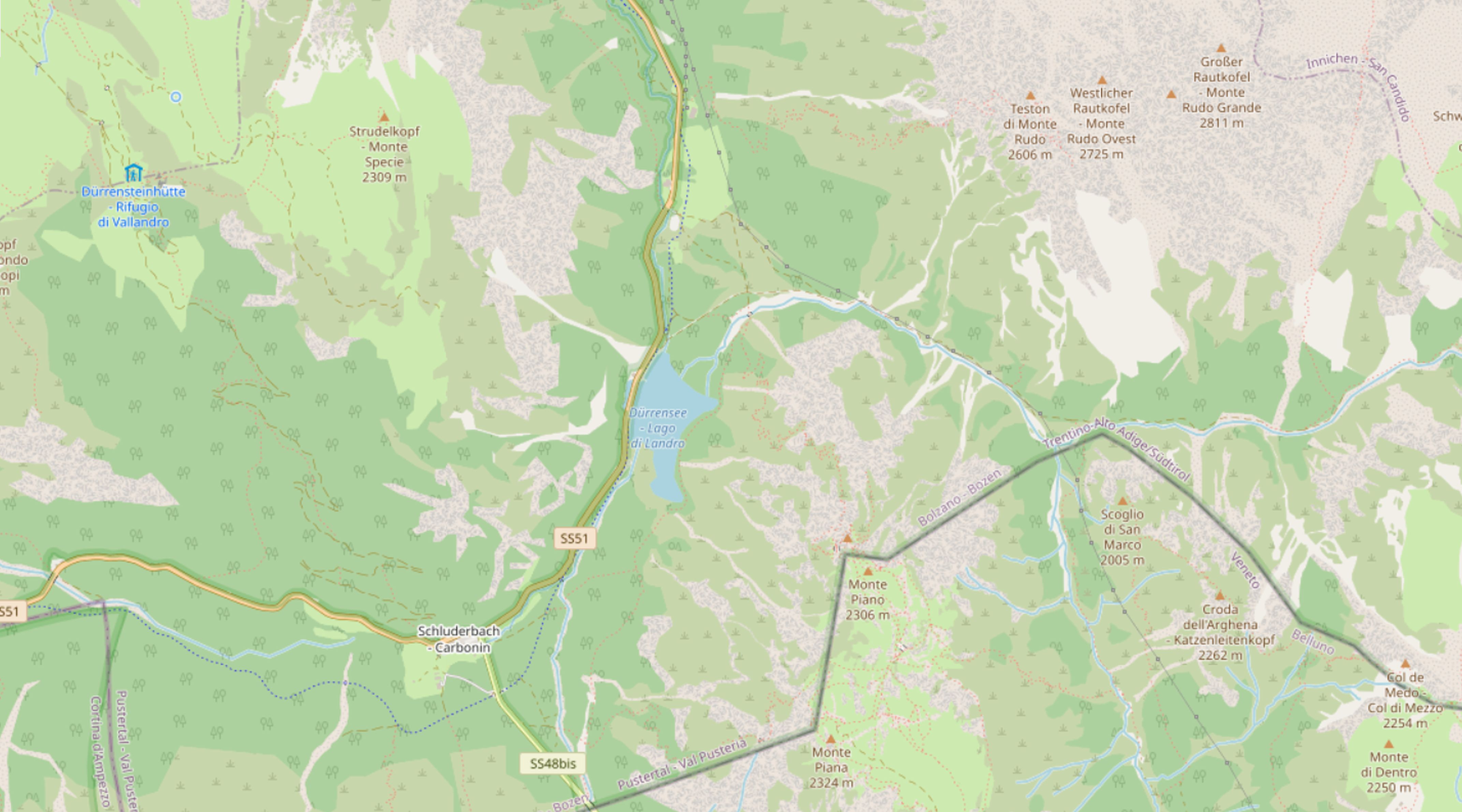
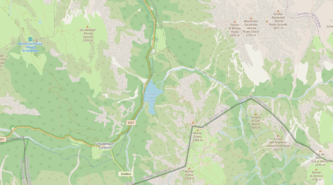
Italiano: Lago di Landro
Deutsch: Dürrensee (Südtirol) und Umgebung (OSM-Karte deutscher Stil) |
| Date | |
| Source | https://www.openstreetmap.org/#map=14/46.6308/12.2228 |
| Author | OpenStreetMap community |
Licensing
edit_OSM-Karte_2023_%E2%80%94_uploaded_by_Mattes.jpg&action=edit§ion=2)
| This work contains information from OpenStreetMap, which is made available under the Open Database License (ODbL).
The ODbL does not require any particular license for maps produced from ODbL data. Prior to 1 August 2020, map tiles produced by the OpenStreetMap Foundation were licensed under the CC-BY-SA-2.0 license. Maps produced by other people may be subject to other licences. |
File history
Click on a date/time to view the file as it appeared at that time.
| Date/Time | Thumbnail | Dimensions | User | Comment | |
|---|---|---|---|---|---|
| current | 15:31, 23 June 2023 | | 4,287 × 2,382 (631 KB) | Mateus2019 (talk | contribs) | == {{int:filedesc}} == {{Information |Description= {{it|1=Lago di Landro}} {{de|1=Dürrensee und Umgebung (OSM-Karte deutscher Stil)}} |Source=https://www.openstreetmap.org/#map=14/46.6308/12.2228 |Date=2023 |Author=OpenStreetMap community |Permission= |other_versions= }} == {{int:license-header}} == {{ODbL OpenStreetMap}} [https://opendatacommons.org/licenses/odbl/1-0/] Category:Dürrensee Category:Maps of lakes Dürrensee [[Category:OpenStreetMap maps... |
You cannot overwrite this file.
File usage on Commons
The following 3 pages use this file:
File usage on other wikis
The following other wikis use this file:
- Usage on www.wikidata.org
_OSM-Karte_2023_—_uploaded_by_Mattes.jpg&oldid=778495456)