File:Iceland location map.svg

Size of this PNG preview of this SVG file: 800 × 567 pixels. Other resolutions: 320 × 227 pixels | 640 × 454 pixels | 1,024 × 726 pixels | 1,280 × 908 pixels | 2,560 × 1,815 pixels | 1,186 × 841 pixels.
Original file (SVG file, nominally 1,186 × 841 pixels, file size: 213 KB)
Captions
Captions
Add a one-line explanation of what this file represents
Summary
edit
| Description |
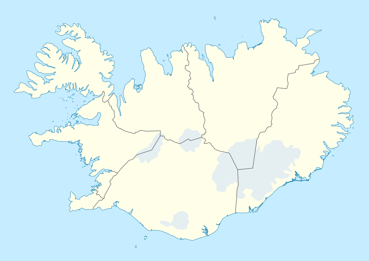
Deutsch: Positionskarte von Island
Quadratische Plattkarte, N-S-Streckung 230 %. Geographische Begrenzung der Karte:
English: Location map of Iceland
Equirectangular projection, N/S stretching 230 %. Geographic limits of the map:
|
| Date | |
| Source | own work, using United States National Imagery and Mapping Agency data |
| Author | NordNordWest |
| Other versions | Derivative works of this file: Iceland relief map.jpg |

|
This map has been made or improved in the German Kartenwerkstatt (Map Lab). You can propose maps to improve as well.
|
Licensing
edit
I, the copyright holder of this work, hereby publish it under the following licenses:

|
Permission is granted to copy, distribute and/or modify this document under the terms of the GNU Free Documentation License, Version 1.2 or any later version published by the Free Software Foundation; with no Invariant Sections, no Front-Cover Texts, and no Back-Cover Texts. A copy of the license is included in the section entitled GNU Free Documentation License. |
This file is licensed under the Creative Commons Attribution-Share Alike 3.0 Unported license.
- You are free:
- to share – to copy, distribute and transmit the work
- to remix – to adapt the work
- Under the following conditions:
- attribution – You must give appropriate credit, provide a link to the license, and indicate if changes were made. You may do so in any reasonable manner, but not in any way that suggests the licensor endorses you or your use.
- share alike – If you remix, transform, or build upon the material, you must distribute your contributions under the same or compatible license as the original.
You may select the license of your choice.
File history
Click on a date/time to view the file as it appeared at that time.
| Date/Time | Thumbnail | Dimensions | User | Comment | |
|---|---|---|---|---|---|
| current | 16:25, 11 October 2013 | | 1,186 × 841 (213 KB) | NordNordWest (talk | contribs) | upd |
| 14:41, 20 October 2010 |  | 1,186 × 841 (272 KB) | NordNordWest (talk | contribs) | upd | |
| 15:25, 3 July 2008 |  | 1,186 × 841 (271 KB) | NordNordWest (talk | contribs) | corrected | |
| 19:38, 30 June 2008 |  | 1,186 × 841 (269 KB) | NordNordWest (talk | contribs) | ||
| 17:37, 29 June 2008 |  | 1,186 × 841 (273 KB) | NordNordWest (talk | contribs) | {{Information |Description= {{de|Positionskarte von Island}} Quadratische Plattkarte, N-S-Streckung 230 %. Geographische Begrenzung der Karte: * N: 66.8° N * S: 63.1° N * W: 25° W * O: 13° W {{en|Location map of Iceland} |
You cannot overwrite this file.
File usage on Commons
The following 11 pages use this file:
- User:NordNordWest/Gallery/Location maps
- File:Austurland in Iceland.svg
- File:Höfuðborgarsvæðið in Iceland.svg
- File:Iceland location Öskjuvatn.jpg
- File:Iceland relief map.jpg
- File:Norðurland eystra in Iceland.svg
- File:Norðurland vestra in Iceland.svg
- File:Suðurland in Iceland.svg
- File:Suðurnes in Iceland.svg
- File:Vestfirðir in Iceland.svg
- File:Vesturland in Iceland.svg
File usage on other wikis
The following other wikis use this file:
- Usage on af.wikipedia.org
- Usage on als.wikipedia.org
- Usage on ar.wikipedia.org
- Usage on arz.wikipedia.org
- Usage on av.wikipedia.org
- Usage on az.wikipedia.org
- Usage on ba.wikipedia.org
- Usage on be-tarask.wikipedia.org
- Рэйк’явік
- Шаблён:Лякалізацыйная мапа Ісьляндыі
- Гейсыр
- Апаватн
- Гальгрымскірк’я
- Аўтайгскіркя
- Гусавік
- Акюрэйры
- Альфтанэс
- Сэльфос
- Вогар
- Дальвік
- Каўпавогюр
- Ньярдвік
- Гардабайр
- Грындавік
- Кефлявік
- Ісаф’ёрдур
- Лякі
- Ісьляндыя (востраў)
- Мосфэльсбайр
- Акранэс
- Сэльт’ярнарнэс
- Вэстманаэяр
- Сёйдаркроўкюр
- Ляўгардальсьвёльлюр
- Usage on be.wikipedia.org
View more global usage of this file.