File:Ida Street Viaduct, southern end.jpg

Size of this preview: 800 × 600 pixels. Other resolutions: 320 × 240 pixels | 640 × 480 pixels | 1,024 × 768 pixels | 1,280 × 960 pixels | 2,560 × 1,920 pixels | 2,816 × 2,112 pixels.
Original file (2,816 × 2,112 pixels, file size: 1.94 MB, MIME type: image/jpeg)
Captions
Captions
Add a one-line explanation of what this file represents
| Camera location | | View this and other nearby images on: OpenStreetMap |
|---|
| Description |
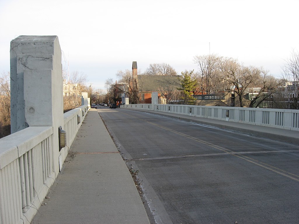
English: Southern end of the Ida Street Viaduct, which carries Ida Street over Wareham Drive in the Mount Adams neighborhood of Cincinnati, Ohio, United States. Built in 1931, it is listed on the National Register of Historic Places. |
||
| Date | Taken on 19 February 2011 | ||
| Source | Own work | ||
| Author | Nyttend | ||
| Permission (Reusing this file) |
|
File history
Click on a date/time to view the file as it appeared at that time.
| Date/Time | Thumbnail | Dimensions | User | Comment | |
|---|---|---|---|---|---|
| current | 22:14, 2 March 2011 | | 2,816 × 2,112 (1.94 MB) | Nyttend (talk | contribs) | {{Location|39|6|19|N|84|29|40|W}} {{Information |Description={{en|Southern end of the {{w|Ida Street Viaduct}}, which carries Ida Street over Wareham Drive in the {{w|Mount Adams, Cincinnati|Mount Adams}} neighborhood of {{w|Cincinnati}}, {{w|Ohio}}, {{w| |
You cannot overwrite this file.
File usage on Commons
There are no pages that use this file.