File:Ikei Island gsi-19930829.jpg
Size of this preview: 800 × 587 pixels. Other resolutions: 320 × 235 pixels | 640 × 470 pixels | 1,024 × 752 pixels | 1,280 × 940 pixels | 2,560 × 1,880 pixels | 3,858 × 2,833 pixels.
Original file (3,858 × 2,833 pixels, file size: 1.75 MB, MIME type: image/jpeg)
Captions
Captions
Add a one-line explanation of what this file represents
Summary edit
| Description |
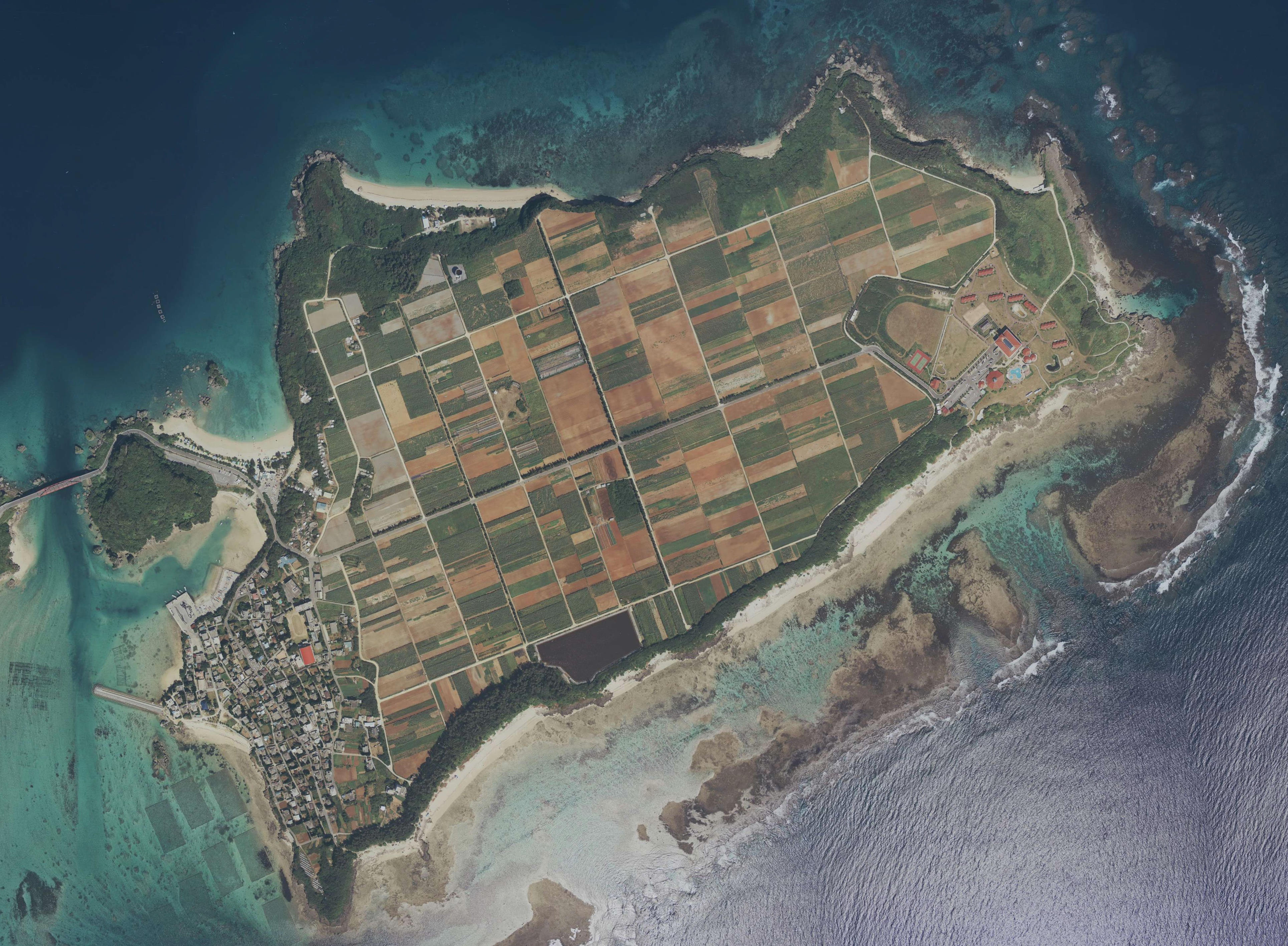
English: Ikei Island, Uruma, Okinawa, Japan.
日本語: 伊計島
国土交通省の地図・空中写真閲覧サービスを元に作成。 4枚の空中写真を合成。
|
| Date | Taken on 29 August 1993 |
| Source | C63-10, C63-11, C63-12, C63-13 |
| Author |
English: Geospatial Information Authority of Japan
日本語: 国土地理院 |
Licensing edit

|
The copyright holder of this file, Ministry of Land, Infrastructure, Transport and Tourism, allows anyone to use it for any purpose, provided that the copyright holder is properly attributed. Redistribution, derivative work, commercial use, and all other use is permitted. |
Attribution:
National Land Image Information (Color Aerial Photographs), created by Ministry of Land, Infrastructure, Transport and Tourism, distributed by Geospatial Information Authority of Japan
|

File history
Click on a date/time to view the file as it appeared at that time.
| Date/Time | Thumbnail | Dimensions | User | Comment | |
|---|---|---|---|---|---|
| current | 08:03, 6 May 2023 | | 3,858 × 2,833 (1.75 MB) | Kugel~commonswiki (talk | contribs) | {{Information |description={{en|1=Ikei Island, Uruma, Okinawa, Japan.}} {{ja|1=伊計島 国土交通省の地図・空中写真閲覧サービスを元に作成。 4枚の空中写真を合成。 *整理番号 OKC931 *撮影年月日 1993年8月29日 *撮影地域 沖縄本島 *コース - 写真番号 C63-10, C63-11, C63-12, C63-13 }} |date={{Taken on|1993-08-29}} |source=[http://mapps.gsi.go.jp/contentsImageDisplay.do?specificationId=481374 C63-10], [http://mapps.gsi.go.jp/contentsImageDisplay.do?specificationId=481375 C63-11], [http://mapps.gsi.go.jp/contentsImageDisplay.do?specificationId=481376 C63-12], [http://m... |
You cannot overwrite this file.
File usage on Commons
There are no pages that use this file.