File:Index to Aerial Photography of Chariton County, Missouri 1 - DPLA - a8d9b8c0435f84f5b986d7a9a21721b2.jpg

Size of this preview: 504 × 599 pixels. Other resolutions: 202 × 240 pixels | 404 × 480 pixels | 646 × 768 pixels | 861 × 1,024 pixels | 1,722 × 2,048 pixels | 6,000 × 7,135 pixels.
Original file (6,000 × 7,135 pixels, file size: 2.36 MB, MIME type: image/jpeg)
Captions
Captions
Add a one-line explanation of what this file represents
Summary
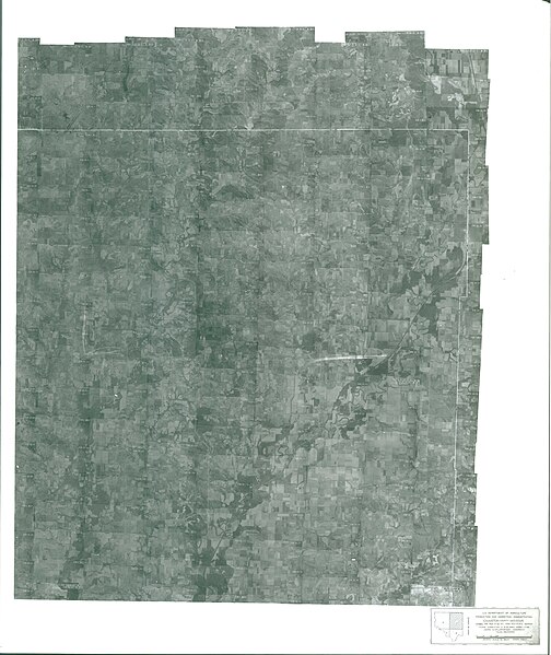
edit| Index to Aerial Photography of Chariton County, Missouri 1
( |
||||||||||||||
|---|---|---|---|---|---|---|---|---|---|---|---|---|---|---|
| Creator | Department of Agriculture. Commodity Stabilization Service. Aerial Photography Field Office. ca. 1953-1961 | |||||||||||||
| Title |
Index to Aerial Photography of Chariton County, Missouri 1 |
|||||||||||||
| Date | 1952 | |||||||||||||
| Collection |
|
|||||||||||||
| Source/Photographer |
|
|||||||||||||
| Permission (Reusing this file) |
|
|||||||||||||
| Standardized rights statement |
|
|||||||||||||


File history
Click on a date/time to view the file as it appeared at that time.
| Date/Time | Thumbnail | Dimensions | User | Comment | |
|---|---|---|---|---|---|
| current | 15:03, 24 November 2020 | | 6,000 × 7,135 (2.36 MB) | DPLA bot (talk | contribs) | Uploading DPLA ID a8d9b8c0435f84f5b986d7a9a21721b2 |
You cannot overwrite this file.
File usage on Commons
The following page uses this file: