File:India Andhra Pradesh relief map.svg

Size of this PNG preview of this SVG file: 725 × 599 pixels. Other resolutions: 290 × 240 pixels | 581 × 480 pixels | 929 × 768 pixels | 1,239 × 1,024 pixels | 2,477 × 2,048 pixels | 1,027 × 849 pixels.
Original file (SVG file, nominally 1,027 × 849 pixels, file size: 1.32 MB)
Captions
Captions
Relief map of Andhra Pradesh
Summary edit
| Description |
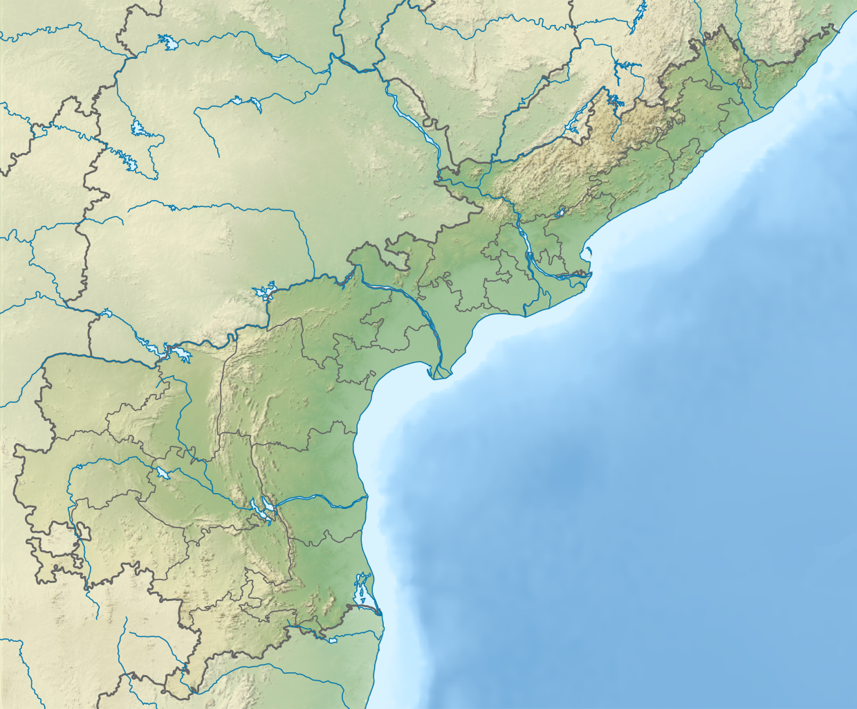
English: Relief map of Andhra Pradesh. Elevation data from STRM3. |
| Date | |
| Source | Derivative of File:India Andhra Pradesh location map (current).svg |
| Author | Own work based on user:Milenioscuro |
.svg)
Licensing edit
This file is licensed under the Creative Commons Attribution-Share Alike 4.0 International license.
- You are free:
- to share – to copy, distribute and transmit the work
- to remix – to adapt the work
- Under the following conditions:
- attribution – You must give appropriate credit, provide a link to the license, and indicate if changes were made. You may do so in any reasonable manner, but not in any way that suggests the licensor endorses you or your use.
- share alike – If you remix, transform, or build upon the material, you must distribute your contributions under the same or compatible license as the original.
File history
Click on a date/time to view the file as it appeared at that time.
| Date/Time | Thumbnail | Dimensions | User | Comment | |
|---|---|---|---|---|---|
| current | 17:36, 16 April 2022 | | 1,027 × 849 (1.32 MB) | C1MM (talk | contribs) | Updated districts |
| 16:31, 28 December 2021 |  | 1,027 × 849 (1.41 MB) | C1MM (talk | contribs) | Updated to match location map | |
| 06:05, 7 June 2021 |  | 1,027 × 849 (1.43 MB) | C1MM (talk | contribs) | Added better relief | |
| 01:17, 17 December 2020 |  | 1,454 × 1,202 (3.1 MB) | C1MM (talk | contribs) | Changed elevation colours | |
| 04:59, 28 June 2020 |  | 1,454 × 1,202 (4 MB) | C1MM (talk | contribs) | Fixed colours | |
| 23:03, 25 April 2020 |  | 2,716 × 2,348 (1.72 MB) | C1MM (talk | contribs) | Fixed whitespace | |
| 23:01, 25 April 2020 |  | 2,716 × 2,348 (1.72 MB) | C1MM (talk | contribs) | Correct rivers | |
| 03:05, 22 April 2020 |  | 2,716 × 2,348 (1.74 MB) | C1MM (talk | contribs) | Minor edit to coastline | |
| 02:57, 22 April 2020 |  | 2,716 × 2,348 (1.75 MB) | C1MM (talk | contribs) | Uploaded a work by Own work based on Milenioscuro from Derivative of File:India Andhra Pradesh location map (current).svg with UploadWizard |
You cannot overwrite this file.
File usage on Commons
The following page uses this file:
- File:Andhra Pradesh relief map.svg (file redirect)
File usage on other wikis
The following other wikis use this file:
- Usage on ar.wikipedia.org
- Usage on de.wikipedia.org
- Usage on en.wikipedia.org
- Andhra Pradesh
- Nellore
- Pulicat Lake
- Kolleru Lake
- Erramala
- Amaravathi, Palnadu district
- Gudivada
- Dowleswaram Barrage
- Sri Venkateswara National Park
- Nagarjuna Sagar Dam
- Konaseema
- Dharanikota
- Bhattiprolu
- Hanuman Junction
- Undavalli Caves
- Srisailam Dam
- Venkata (hill)
- Prakasam Barrage
- Gundlakamma River
- Nallamala Hills
- Ardhagiri
- Ethipothala Falls
- Polavaram Project
- Pulichinthala Project
- Gundlakamma Reservoir Project
- Kotturu Dhanadibbalu
- Sapthagiri
- Tatipudi Reservoir
- Pothireddypadu Reservoir
- Sunkesula Barrage
- Shahi Jamia Mosque
- Lanka Sagar Dam
- Guntupalli Group of Buddhist Monuments
- Mogalrajapuram Caves
- Module:Location map/data/India Andhra Pradesh
- Module:Location map/data/India Andhra Pradesh/doc
- Veligonda Project
- Akkanna Madanna Caves
- 2015 sandalwood smugglers encounter in Andhra Pradesh
- Somasila Dam
- Thotapalli Barrage
- Arma Konda
- Amaravati Stupa
- Veligallu Dam Reservoir
- Kalyani Dam
View more global usage of this file.