File:India districts.png

Size of this preview: 800 × 548 pixels. Other resolutions: 320 × 219 pixels | 640 × 439 pixels | 1,024 × 702 pixels | 1,281 × 878 pixels.
Original file (1,281 × 878 pixels, file size: 44 KB, MIME type: image/png)
Captions
Captions
Chennai
Summary
edit
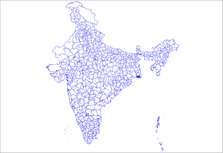
Map of the districts of India. Created by Rarelibra 18:25, 12 April 2007 (UTC) for public domain use, using MapInfo Professional v8.5 and various mapping resources.
Licensing
edit
| I, the copyright holder of this work, release this work into the public domain. This applies worldwide. In some countries this may not be legally possible; if so: I grant anyone the right to use this work for any purpose, without any conditions, unless such conditions are required by law. |
File history
Click on a date/time to view the file as it appeared at that time.
| Date/Time | Thumbnail | Dimensions | User | Comment | |
|---|---|---|---|---|---|
| current | 18:25, 12 April 2007 | | 1,281 × 878 (44 KB) | Rarelibra (talk | contribs) | Map of the districts of India. Created by ~~~~ for public domain use, using MapInfo Professional v8.5 and various mapping resources. |
You cannot overwrite this file.
File usage on Commons
There are no pages that use this file.
File usage on other wikis
The following other wikis use this file:
- Usage on en.wiktionary.org
- Usage on ml.wikipedia.org
- Usage on sq.wikipedia.org