File:Indonesia–Uganda Locator.svg

Size of this PNG preview of this SVG file: 800 × 361 pixels. Other resolutions: 320 × 144 pixels | 640 × 289 pixels | 1,024 × 462 pixels | 1,280 × 578 pixels | 2,560 × 1,156 pixels | 1,063 × 480 pixels.
Original file (SVG file, nominally 1,063 × 480 pixels, file size: 1.13 MB)
Captions
Captions
Add a one-line explanation of what this file represents
Summary
edit
| Description |
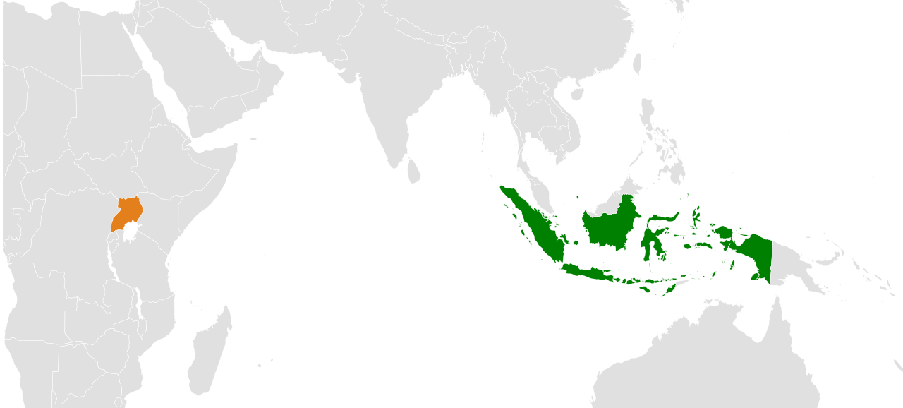
English: Locations of Indonesia and Uganda in the world map.
Indonesia Uganda |
| Date | |
| Source | Blank base map: File:BlankMap-World.svg |
| Author | User:Mikey641 |
| Permission (Reusing this file) |
This file is licensed under the Creative Commons Attribution-Share Alike 3.0 Unported license.
|
File history
Click on a date/time to view the file as it appeared at that time.
| Date/Time | Thumbnail | Dimensions | User | Comment | |
|---|---|---|---|---|---|
| current | 14:28, 8 April 2021 | | 1,063 × 480 (1.13 MB) | Mikey641 (talk | contribs) | update |
| 00:38, 29 March 2021 |  | 2,560 × 1,134 (1 MB) | Mikey641 (talk | contribs) |
You cannot overwrite this file.
File usage on Commons
The following 2 pages use this file:
File usage on other wikis
The following other wikis use this file:
- Usage on en.wikipedia.org
- Usage on he.wikipedia.org
- Usage on www.wikidata.org