File:Indonesia.svg

Size of this PNG preview of this SVG file: 800 × 367 pixels. Other resolutions: 320 × 147 pixels | 640 × 294 pixels | 1,024 × 470 pixels | 1,280 × 587 pixels | 2,560 × 1,174 pixels | 1,875 × 860 pixels.
Original file (SVG file, nominally 1,875 × 860 pixels, file size: 755 KB)
Captions
Captions
Add a one-line explanation of what this file represents
Summary edit
| Description |
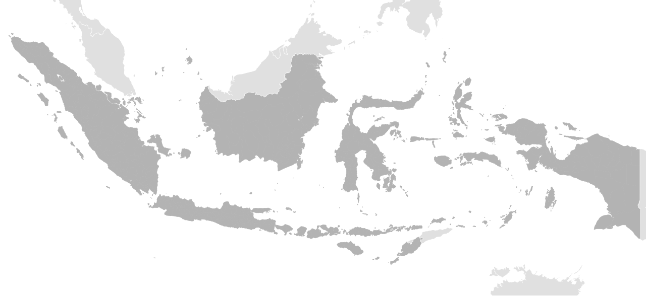
English: Maps of Indonesia, sharing land borders with Malaysia, Timor Leste, and Papua New Guinea. I depicted the island Papua, Kalimantan and Timor. Parts of Malay Peninsula, Thailand, tiny Singapore, The Philippines, and Australia is also visible. |
| Date | |
| Source | Derived from File:BlankMap-World Default Edition.svg |
| Author | VictorPines |
Licensing edit
| This file is made available under the Creative Commons CC0 1.0 Universal Public Domain Dedication. | |
| The person who associated a work with this deed has dedicated the work to the public domain by waiving all of their rights to the work worldwide under copyright law, including all related and neighboring rights, to the extent allowed by law. You can copy, modify, distribute and perform the work, even for commercial purposes, all without asking permission.
|
File history
Click on a date/time to view the file as it appeared at that time.
| Date/Time | Thumbnail | Dimensions | User | Comment | |
|---|---|---|---|---|---|
| current | 14:42, 4 August 2022 | | 1,875 × 860 (755 KB) | Afrogindahood (talk | contribs) | Coastlines improvement |
| 14:47, 2 August 2022 |  | 1,875 × 860 (770 KB) | Afrogindahood (talk | contribs) | Addition of new provinces in Western New Guinea | |
| 19:58, 14 October 2020 |  | 1,091 × 500 (749 KB) | Afrogindahood (talk | contribs) | Graphical improvement | |
| 05:28, 26 October 2018 |  | 430 × 190 (148 KB) | Bennylin (talk | contribs) | Colorize Indonesia differently from neighboring countries | |
| 05:14, 26 October 2018 |  | 416 × 179 (168 KB) | Bennylin (talk | contribs) | User created page with UploadWizard |
You cannot overwrite this file.
File usage on Commons
The following page uses this file: