File:IndoreKart.svg

Size of this PNG preview of this SVG file: 389 × 599 pixels. Other resolutions: 156 × 240 pixels | 311 × 480 pixels | 498 × 768 pixels | 665 × 1,024 pixels | 1,329 × 2,048 pixels | 531 × 818 pixels.
Original file (SVG file, nominally 531 × 818 pixels, file size: 67 KB)
Captions
Captions
Add a one-line explanation of what this file represents
Summary edit
| Description |
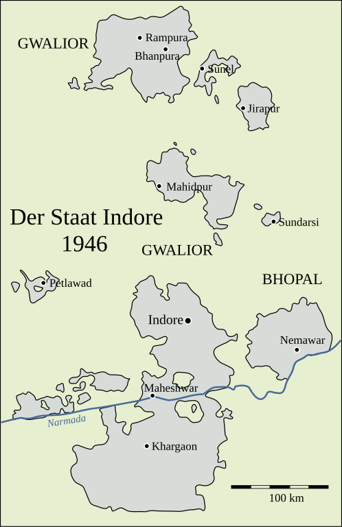
Deutsch: Karte von Indore. |
|||
| Date | ||||
| Source | Autor | |||
| Author | Dr. Andreas Birken, conversion of JPG to SVG by Furfur | |||
| Permission (Reusing this file) |
I, the copyright holder of this work, hereby publish it under the following licenses:
This file is licensed under the Creative Commons Attribution-Share Alike 4.0 International license.
You may select the license of your choice. |
|||
| Other versions |
|
|||
| SVG development | This map was created with Adobe Illustrator. |


File history
Click on a date/time to view the file as it appeared at that time.
| Date/Time | Thumbnail | Dimensions | User | Comment | |
|---|---|---|---|---|---|
| current | 12:27, 6 October 2022 | | 531 × 818 (67 KB) | Furfur (talk | contribs) | 1946 (one year before independence), not 1956 (States Reorganisation Act) |
| 12:59, 24 September 2022 |  | 531 × 818 (67 KB) | Furfur (talk | contribs) | Detail (Schriftgröße) | |
| 12:55, 24 September 2022 |  | 531 × 818 (67 KB) | Furfur (talk | contribs) | == {{int:filedesc}} == {{Information |Description={{de|1=Karte von Indore.}} |Source=Autor |Date=2022-09-24 |Author= Dr. Andreas Birken, conversion of JPG to SVG by {{U|Furfur}} |Permission={{Igen|A|+|%|s=m}} |other_versions={{bva|:IndoreKart.jpg}} }} Category:Indore State Category:SVG maps showing history in German |
You cannot overwrite this file.
File usage on Commons
The following 2 pages use this file:
File usage on other wikis
The following other wikis use this file:
- Usage on de.wikipedia.org