File:Info Tabule Kralovicky Potok.jpg

Size of this preview: 450 × 600 pixels. Other resolutions: 180 × 240 pixels | 360 × 480 pixels | 576 × 768 pixels | 768 × 1,024 pixels | 1,536 × 2,048 pixels | 3,456 × 4,608 pixels.
Original file (3,456 × 4,608 pixels, file size: 4.98 MB, MIME type: image/jpeg)
Captions
Captions
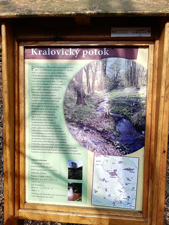
An information board in Czech language called "Kralovický brook" located at the viaduct near Mariánský týnec.
Summary
edit
| Description |
Čeština: Česky psaná informační tabule s názvem „Kralovický potok“ umístěná u viaduktu poblíž Mariánského týnce.
English: An information board in Czech language called "Kralovický brook" located at the viaduct near Mariánský týnec. |
| Date | |
| Source | Own work |
| Author | Mojmir Churavy |
| Permission (Reusing this file) |
I, the copyright holder of this work, hereby publish it under the following license: This file is licensed under the Creative Commons Attribution-Share Alike 4.0 International license.
|
| Camera location | | View this and other nearby images on: OpenStreetMap |
|---|
File history
Click on a date/time to view the file as it appeared at that time.
| Date/Time | Thumbnail | Dimensions | User | Comment | |
|---|---|---|---|---|---|
| current | 13:05, 30 March 2022 | | 3,456 × 4,608 (4.98 MB) | Mojmir Churavy (talk | contribs) | Uploaded own work with UploadWizard |
You cannot overwrite this file.
File usage on Commons
There are no pages that use this file.