File:Infotafel - Haus der Bürgerschaft (Lage).jpg

Size of this preview: 733 × 600 pixels. Other resolutions: 293 × 240 pixels | 587 × 480 pixels | 939 × 768 pixels | 1,251 × 1,024 pixels | 2,500 × 2,046 pixels.
Original file (2,500 × 2,046 pixels, file size: 1.09 MB, MIME type: image/jpeg)
Captions
Captions
Add a one-line explanation of what this file represents
| Description |
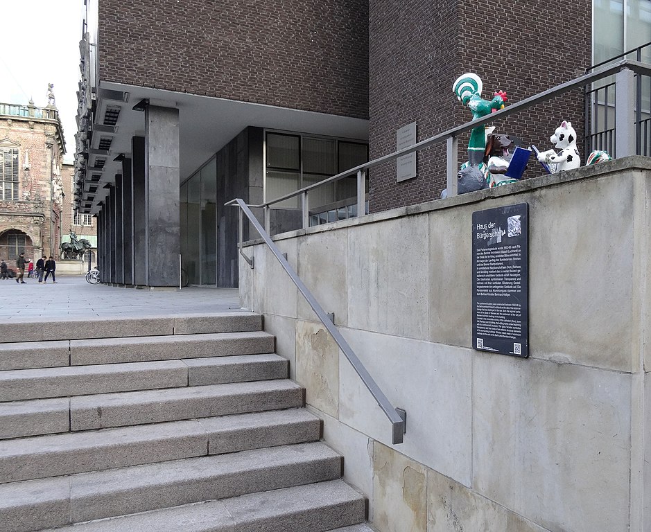
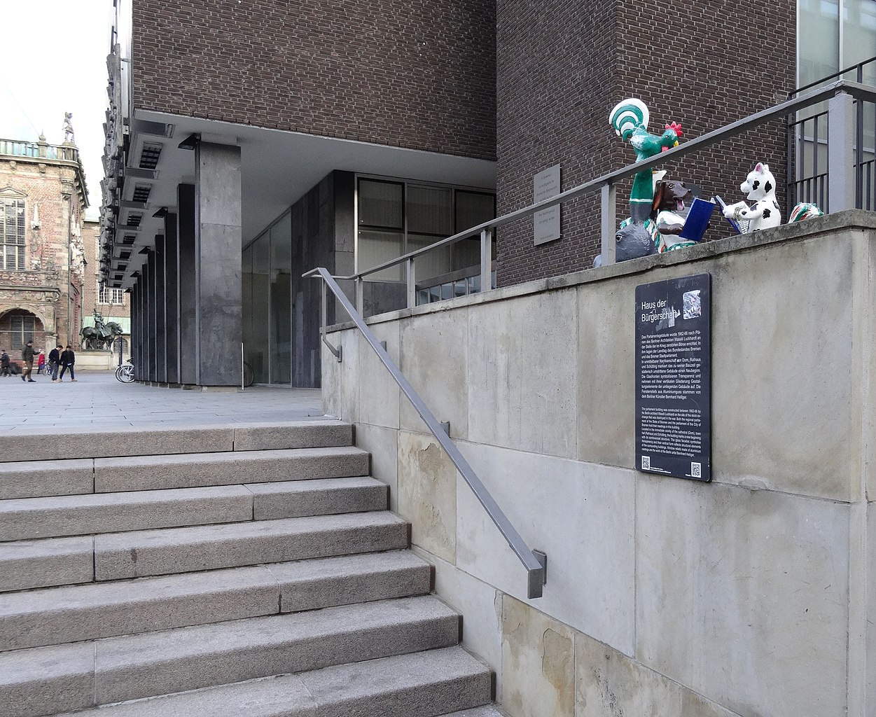
Deutsch: Infotafel mit QR- und QRpedia-Code: de:Bremische Bürgerschaft |
| Date | |
| Source | Own work |
| Author | Jürgen Howaldt |
| Permission (Reusing this file) |
I, the copyright holder of this work, hereby publish it under the following license: This file is licensed under the Creative Commons Attribution-Share Alike 3.0 Germany license. Attribution: Foto: Jürgen Howaldt
 |
| Other versions | File:Infotafel - Haus der Bürgerschaft.jpg |
| Object location | | View this and other nearby images on: OpenStreetMap |
|---|
.jpg¶ms=053.075308_N_0008.807185_E_globe:Earth_class:object_type:landmark_region:DE-HB_scale:3000_&language=en)
File history
Click on a date/time to view the file as it appeared at that time.
| Date/Time | Thumbnail | Dimensions | User | Comment | |
|---|---|---|---|---|---|
| current | 15:25, 15 January 2014 | | 2,500 × 2,046 (1.09 MB) | Godewind (talk | contribs) | {{Information |Description={{de|Infotafel mit QR- und QRpedia-Code: de:Bremische Bürgerschaft}} |Source={{own}} |Date=2014-01 |Author=Jürgen Howaldt |Permission={{self|cc-by-sa-3.0-de|attribution=Foto: Jürgen Howaldt}}... |
You cannot overwrite this file.
File usage on Commons
There are no pages that use this file.
File usage on other wikis
The following other wikis use this file:
- Usage on de.wikipedia.org
.jpg&oldid=543415301)