File:Insel Wörth-Donau-14.88705E 48.23040N.png
No higher resolution available.
Insel_Wörth-Donau-14.88705E_48.23040N.png (623 × 423 pixels, file size: 774 KB, MIME type: image/png)
Captions
Captions
Add a one-line explanation of what this file represents
Summary
edit
| Description |
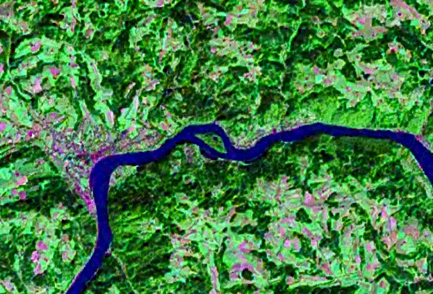
English: Geocover 2000 |
| Date | |
| Source | NASA World Wind |
| Author | NASA |
Licensing
edit
| This image is in the public domain because it is a screenshot from NASA’s globe software World Wind using a public domain layer, such as Blue Marble, MODIS, Landsat, SRTM, USGS or GLOBE.
|
 |
File history
Click on a date/time to view the file as it appeared at that time.
| Date/Time | Thumbnail | Dimensions | User | Comment | |
|---|---|---|---|---|---|
| current | 19:35, 29 April 2009 | | 623 × 423 (774 KB) | Ratzer (talk | contribs) | {{Information |Description={{en|1=Geocover 2000}} |Source=NASA World Wind |Author=NASA |Date=2000 |Permission= |other_versions= }} <!--{{ImageUpload|full}}--> Category:Danube Category:River Island |
You cannot overwrite this file.
File usage on Commons
The following page uses this file:
File usage on other wikis
The following other wikis use this file:
- Usage on de.wikipedia.org
- Usage on en.wikipedia.org
- Usage on es.wikipedia.org
- Usage on www.wikidata.org
- Usage on zh.wikipedia.org