File:Iran Yazd adm location map.svg

Size of this PNG preview of this SVG file: 512 × 540 pixels. Other resolutions: 228 × 240 pixels | 455 × 480 pixels | 728 × 768 pixels | 971 × 1,024 pixels | 1,942 × 2,048 pixels.
Original file (SVG file, nominally 512 × 540 pixels, file size: 38 KB)
Captions
Captions
Add a one-line explanation of what this file represents
Summary edit
| Description |
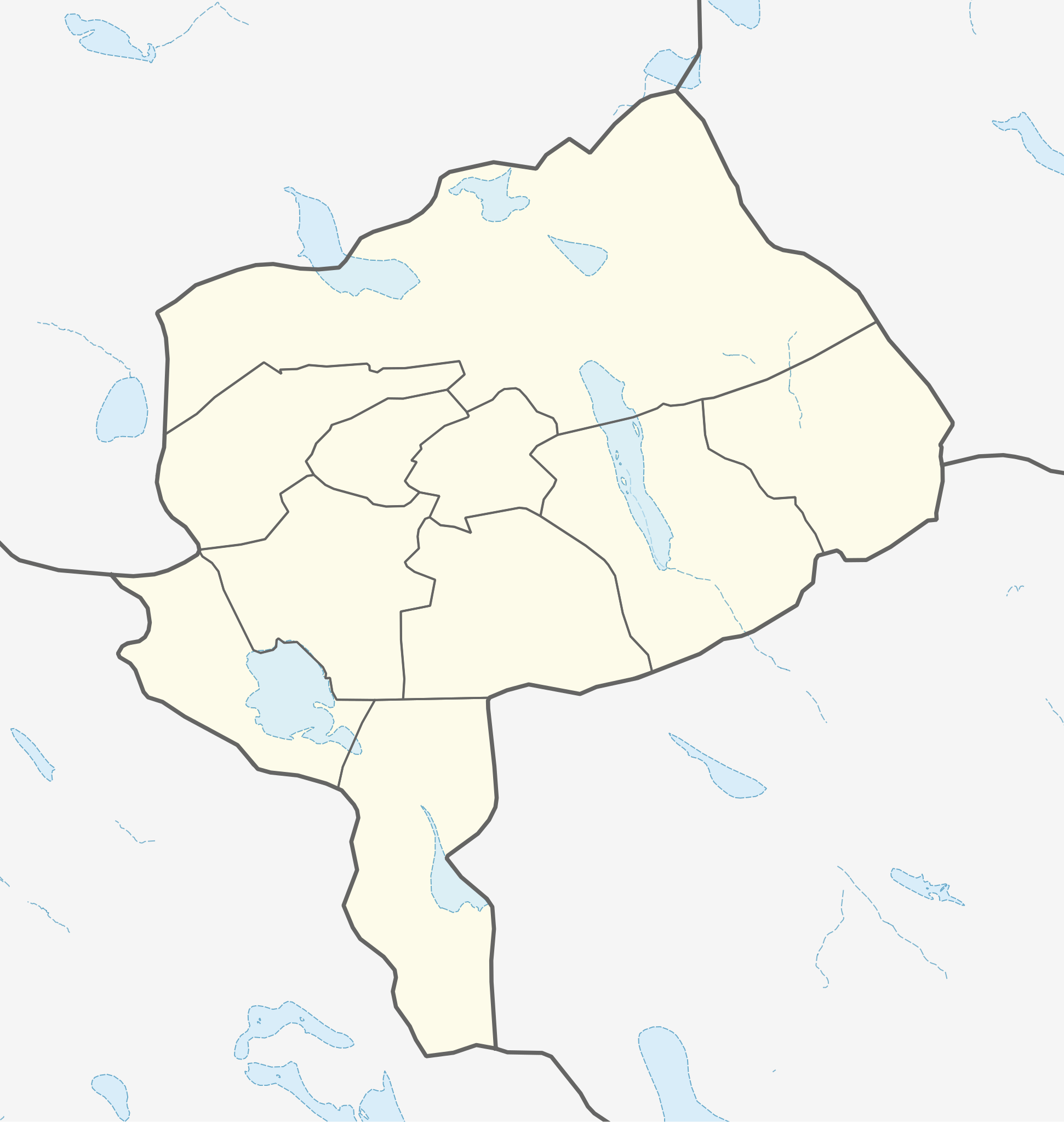
English: Location map of Yazd Province, Iran
|
||||||||||||
| Date | |||||||||||||
| Source | Own work using: UN OCHA Data, United States National Imagery and Mapping Agency data | ||||||||||||
| Author | Isochrone | ||||||||||||
Licensing edit
I, the copyright holder of this work, hereby publish it under the following license:
This file is licensed under the Creative Commons Attribution-Share Alike 4.0 International license.
- You are free:
- to share – to copy, distribute and transmit the work
- to remix – to adapt the work
- Under the following conditions:
- attribution – You must give appropriate credit, provide a link to the license, and indicate if changes were made. You may do so in any reasonable manner, but not in any way that suggests the licensor endorses you or your use.
- share alike – If you remix, transform, or build upon the material, you must distribute your contributions under the same or compatible license as the original.
File history
Click on a date/time to view the file as it appeared at that time.
| Date/Time | Thumbnail | Dimensions | User | Comment | |
|---|---|---|---|---|---|
| current | 21:13, 25 July 2023 | | 512 × 540 (38 KB) | Isochrone (talk | contribs) | fix |
| 21:07, 25 July 2023 |  | 512 × 539 (35 KB) | Isochrone (talk | contribs) | {{Information |Description= {{en|1=Location map of Yazd Province, Iran}} {{Location map series N |stretching=100 |top=33.7 |bottom=29.3 |left=52.3 |right=57.2 }} |Source={{Own using}} [https://data.humdata.org/dataset/cod-ab-irn? UN OCHA Data], United States National Imagery and Mapping Agency data |Date=2023-07-25 |Author={{U|Isochrone}} |Permission= |other_versions= }} == {{int:license-header}} == {{self|cc-by-sa}} Category:Location maps of Asia (series N) [[Category:Location maps of... |
You cannot overwrite this file.
File usage on Commons
There are no pages that use this file.
File usage on other wikis
The following other wikis use this file:
- Usage on en.wikipedia.org
- Usage on fr.wikipedia.org
- Usage on os.wikipedia.org
- Usage on si.wikipedia.org