File:Irrigation Canal - Reggio Emilia, Italy - October 20, 2012 - panoramio.jpg
Size of this preview: 400 × 600 pixels. Other resolutions: 160 × 240 pixels | 320 × 480 pixels | 512 × 768 pixels | 682 × 1,024 pixels | 2,496 × 3,744 pixels.
Original file (2,496 × 3,744 pixels, file size: 8.39 MB, MIME type: image/jpeg)
Captions
Captions
Add a one-line explanation of what this file represents
Summary
edit
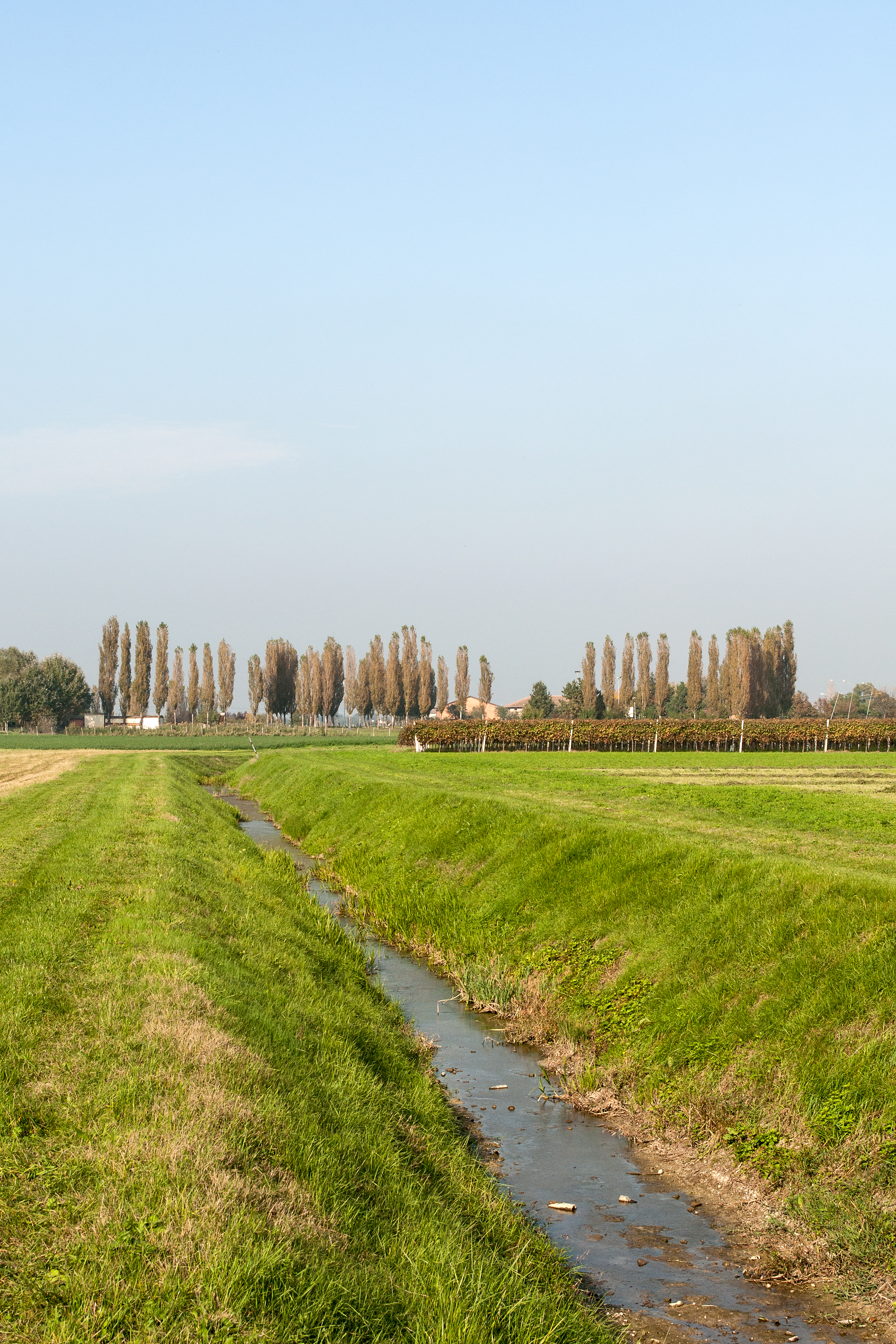
| Description | Irrigation Canal - Reggio Emilia, Italy - October 20, 2012 | ||
| Date | Taken on 20 October 2012 | ||
| Source | https://web.archive.org/web/20161024210937/http://www.panoramio.com/photo/81924070 | ||
| Author | Giorgio Galeotti | ||
| Permission (Reusing this file) |
This file is licensed under the Creative Commons Attribution 3.0 Unported license. Attribution: Giorgio Galeotti
|
||
| Tags (from Panoramio photo page) | Reggio Emilia |
| Camera location | | View this and other nearby images on: OpenStreetMap |
|---|
File history
Click on a date/time to view the file as it appeared at that time.
| Date/Time | Thumbnail | Dimensions | User | Comment | |
|---|---|---|---|---|---|
| current | 19:35, 23 January 2017 | | 2,496 × 3,744 (8.39 MB) | Panoramio upload bot (talk | contribs) | == {{int:filedesc}} == {{Information |description=Irrigation Canal - Reggio Emilia, Italy - October 20, 2012 |date={{Taken on|2012-10-20}} |source=http://www.panoramio.com/photo/81924070 |author=[http://www.panoramio.com/user/4208745?with_photo_id=8192... |
You cannot overwrite this file.
File usage on Commons
There are no pages that use this file.