File:Iruñea Alde Zaharra, Euskal Herria.svg

Size of this PNG preview of this SVG file: 800 × 564 pixels. Other resolutions: 320 × 226 pixels | 640 × 451 pixels | 1,024 × 722 pixels | 1,280 × 902 pixels | 2,560 × 1,804 pixels | 1,006 × 709 pixels.
Original file (SVG file, nominally 1,006 × 709 pixels, file size: 3.48 MB)
Captions
Captions
Add a one-line explanation of what this file represents
Summary edit
| Description |
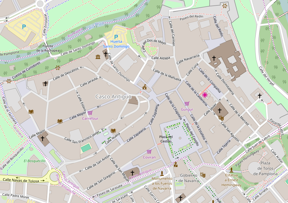
Euskara: Iruñeko Alde Zaharraren kokapen mapa. Nafarroa, Euskal Herria - Pamplona's old quartier´s location map. Navarre, Basque country. |
| Date | |
| Source | http://www.openstreetmap.org/ |
| Author | http://www.openstreetmap.org/ |
Licensing edit
This file is licensed under the Creative Commons Attribution-Share Alike 3.0 Unported license.
- You are free:
- to share – to copy, distribute and transmit the work
- to remix – to adapt the work
- Under the following conditions:
- attribution – You must give appropriate credit, provide a link to the license, and indicate if changes were made. You may do so in any reasonable manner, but not in any way that suggests the licensor endorses you or your use.
- share alike – If you remix, transform, or build upon the material, you must distribute your contributions under the same or compatible license as the original.
File history
Click on a date/time to view the file as it appeared at that time.
| Date/Time | Thumbnail | Dimensions | User | Comment | |
|---|---|---|---|---|---|
| current | 13:28, 24 November 2016 | | 1,006 × 709 (3.48 MB) | Xabier Cañas (talk | contribs) | User created page with UploadWizard |
You cannot overwrite this file.
File usage on Commons
There are no pages that use this file.
File usage on other wikis
The following other wikis use this file:
- Usage on eu.wikipedia.org