File:Isère 184x zoom.png
Size of this preview: 800 × 374 pixels. Other resolutions: 320 × 149 pixels | 640 × 299 pixels | 1,088 × 508 pixels.
Original file (1,088 × 508 pixels, file size: 957 KB, MIME type: image/png)
Captions
Captions
Add a one-line explanation of what this file represents
Summary edit
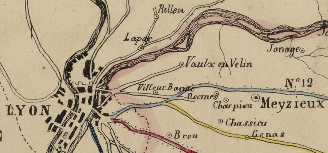
| Description | Détail des zones autour de Lyon, Villeurbanne, Lapar, Rilleu, Decines, Charpieu, Jonage, Meyzieux, Chassieu, Genas, Bron, Vaulx-en-Velin. |
| Date | (UTC) |
| Source | Template:Extrait de |
| Author |
|
| This is a retouched picture, which means that it has been digitally altered from its original version. The original can be viewed here: Plan Isère 184x.jpg:
|
Licensing edit
| Previous public domain rationale, no longer applicable | ||
|---|---|---|
|
Original upload log edit
This image is a derivative work of the following images:
- File:Plan_Isère_184x.jpg licensed with PD-GallicaScan
- 2012-07-18T09:10:01Z JeanBono 8192x7092 (23985158 Bytes) {{LargeImage}} {{crop}} =={{int:filedesc}}== {{Artwork | artist = | title = Département de l'Isère | description = {{fr|Département de l'Isère.}} | date = 184x | gallery = {
Uploaded with derivativeFX
File history
Click on a date/time to view the file as it appeared at that time.
| Date/Time | Thumbnail | Dimensions | User | Comment | |
|---|---|---|---|---|---|
| current | 09:15, 18 July 2012 | | 1,088 × 508 (957 KB) | Rexcornot (talk | contribs) | == {{int:filedesc}} == {{Information |Description=Zoom on Lyon, Villeurbanne, Lapar, Rilleu, Decines, Charpieu, Jonage, Meyzieux, Chassieu, Genas, Bron, Vaulx-en-Velin. |Source={{Derived from|Plan_Isère_184x.jpg|display=50}} |Date=2012-07-18 09:13 (UT... |
You cannot overwrite this file.
File usage on Commons
There are no pages that use this file.
File usage on other wikis
The following other wikis use this file:
- Usage on fr.wikipedia.org
- Usage on oc.wikipedia.org