File:Isla Perejil NWW.png
Size of this preview: 800 × 548 pixels. Other resolutions: 320 × 219 pixels | 640 × 439 pixels | 1,024 × 702 pixels.
Original file (1,024 × 702 pixels, file size: 878 KB, MIME type: image/png)
Captions
Captions
Add a one-line explanation of what this file represents
Summary
edit
| Description |
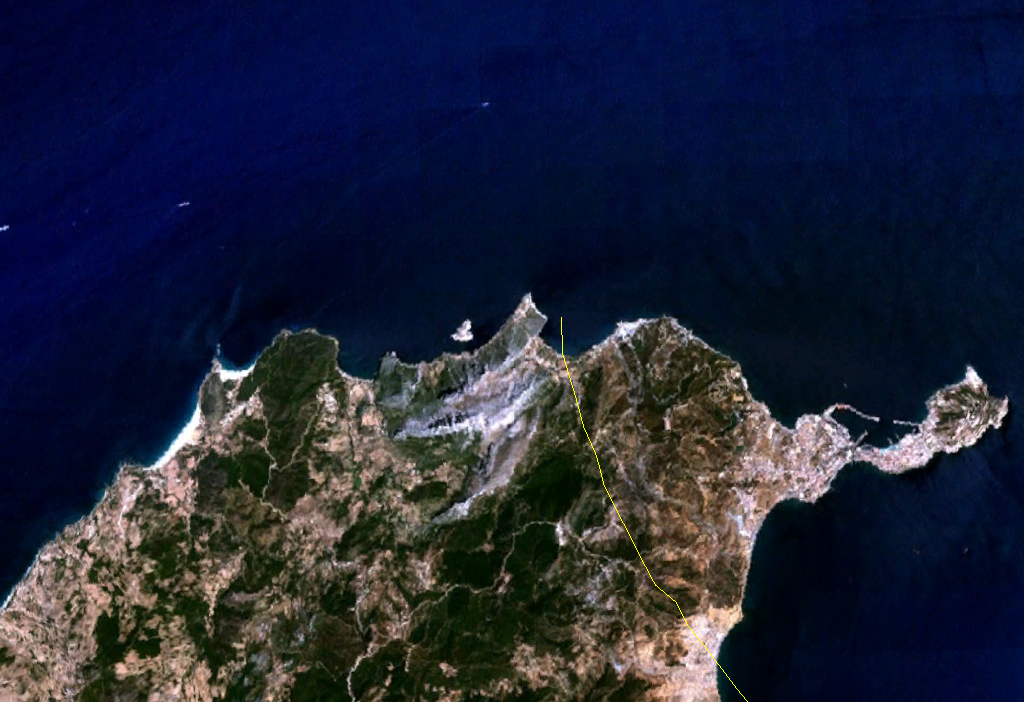
English: Isla Perejil in North Africa. Satellite picture. |
| Date | 18 August 2005 (upload date) |
| Source | Satellite imagery taken from NASA World Wind software (by screenshot) |
| Author | NASA |
Licensing
edit
| This image is in the public domain because it is a screenshot from NASA’s globe software World Wind using a public domain layer, such as Blue Marble, MODIS, Landsat, SRTM, USGS or GLOBE.
|
 |
| Annotations | This image is annotated: View the annotations at Commons |
File history
Click on a date/time to view the file as it appeared at that time.
| Date/Time | Thumbnail | Dimensions | User | Comment | |
|---|---|---|---|---|---|
| current | 14:44, 18 August 2005 | | 1,024 × 702 (878 KB) | JMPerez~commonswiki (talk | contribs) | Screenshot taken from NASA World Wind of the Isla Perejil. {{PD-USGov-NASA}} Category:Islands Category:Satellite photos |
| 14:39, 18 August 2005 |  | 1,024 × 702 (884 KB) | JMPerez~commonswiki (talk | contribs) | Screenshot taken from NASA World Wind of the Isla Perejil. {{PD-USGov-NASA}} Category:Islands Category:Satellite photos |
You cannot overwrite this file.
File usage on Commons
There are no pages that use this file.
File usage on other wikis
The following other wikis use this file:
- Usage on an.wikipedia.org
- Usage on ar.wikipedia.org
- Usage on de.wikipedia.org
- Usage on eo.wikipedia.org
- Usage on es.wikipedia.org
- Usage on fi.wikipedia.org
- Usage on he.wikipedia.org
- Usage on hu.wikipedia.org
- Usage on id.wikipedia.org
- Usage on it.wikipedia.org
- Usage on ku.wikipedia.org
- Usage on nn.wikipedia.org